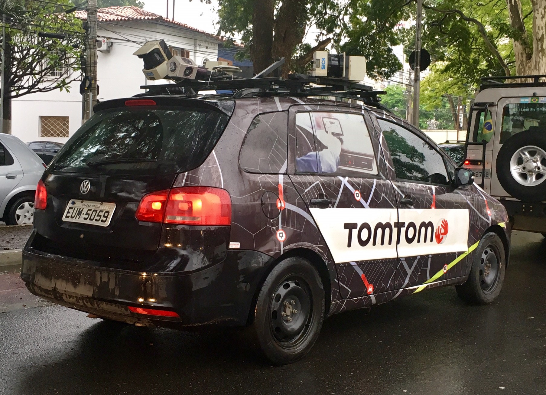
Brazil, São Paulo
FC-01x Future Cities (Self-Paced) - Exercise 1 : "Making the Invisible - Visible"

Uploaded on 2016-11-05 by Guilherme Ribeiro
Hi, this picture shows a car taking 360 degrees pictures and collecting GPS data of the streets in Sao Paulo. The maps can be used in mobile phones and it´s possible to analize the number of people using it, from there come and to where they go, how traffic jams, what kind of transportation is used, etc.