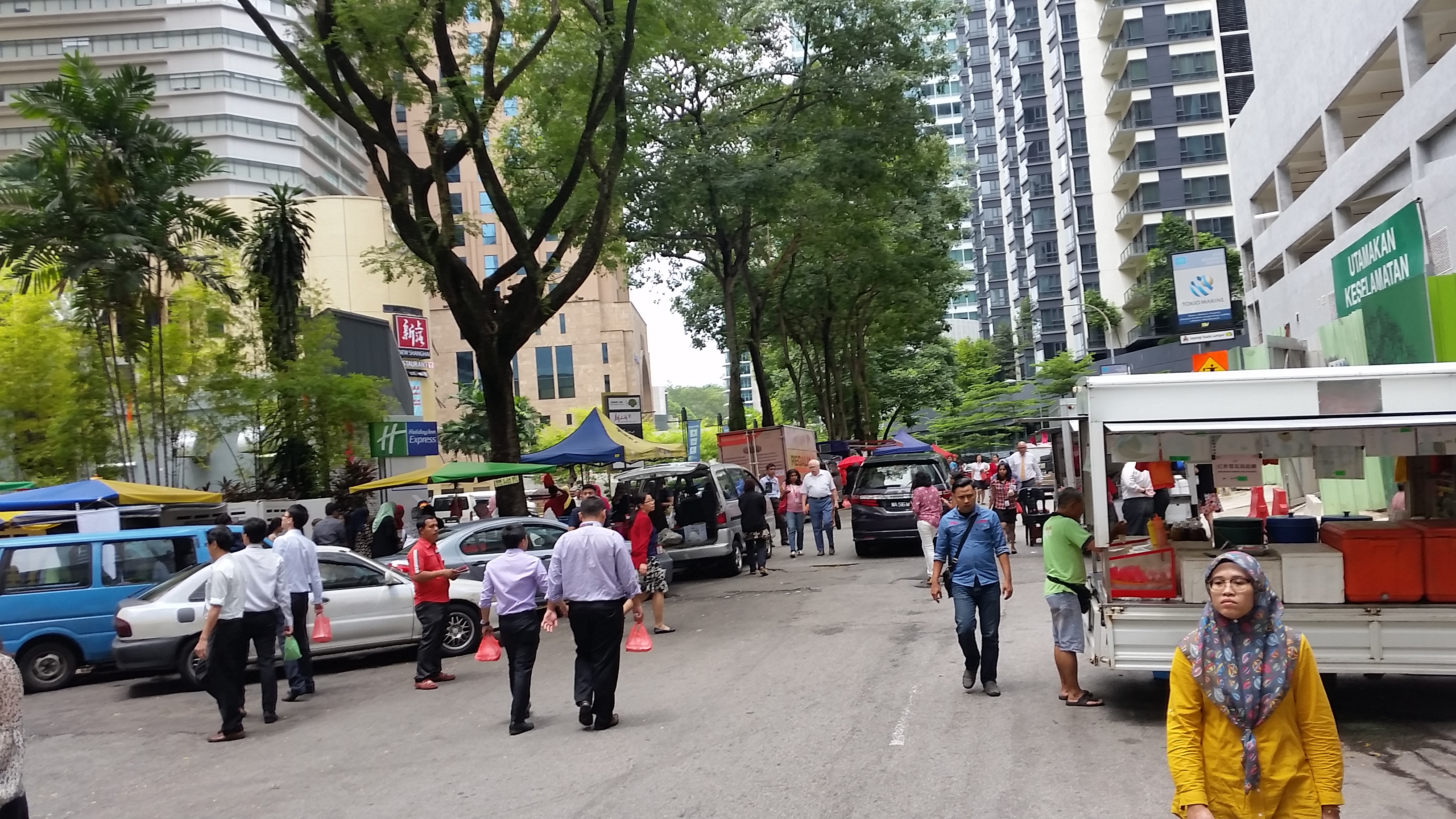
Malaysia, Kuala Lumpur
FC-01x Future Cities (Self-Paced) - Exercise 1 : "Making the Invisible - Visible"

Uploaded on 2016-10-24 by Askaree Dzaharudin
Making the Invisible Visible. Day Market. Context: This market is a collective of stalls on roadsides as result of workers demand for low-cost food in a high end city. Problems arise because this road is still a widely used path for vehicular traffic and the road becomes blocked during lunch hour due to pedestrian usage. Hypothesis: Market should work similarly to shopping complexes. The location of each stall places an important role in the flow of human traffic. The idea is to control people movement by strategically placing stalls within set areas or categorisation, maximising efficiency of people shopping, as well as allowing smooth vehicular movement. By thinking similarly to the anatomy of shopping complex, it opens the possibility of multilevel flow. Information 1: Fragmenting the Activity The information of the stalls could prove vital in this design analysis. Tangibly, the number of stalls, the inventory of each stall, and the size of the stalls need to be recorded. This can be done via observational study such as visual recording. Intangibly, the popularity of the stalls, pricing, and economic value is determined through crowdsourcing, surveys, and auditing. Information 2: Flow Visual Mapping This mapping analysis is broken into 2 parts; the vehicular flow, and the human flow. In the scale of a single road, vehicular flow is straightforward. The key is to know the source and destination of vehicles that passes by the road, therefore the mapping has to cover a larger portion of the road network. In terms of human traffic, the mapping is scaled only on the area of the market, identifying key nodes where flow concentration occurs, as well as sources and destination of the human flow. Overlaying these two mapping visualises intersecting flow points that could notify causes or solution to the blockage issue. Conclusion: Since Kuala Lumpur is a car-driven city, converting the road into a pedestrianised path is non-efficient. The road has to be integrative; a multilevel path interweaving vehicular and pedestrian movement. I suggest that instead of a simple bridge, the design of the multilevel is networked and organic based on visualisation and design of information 2. Information 1 serves as structuring analysis for designing the positioning and planning of shops/stalls to manage traffic and flow of shoppers. In the future, it may also serve to control the economic balance of the various food industry within the market.