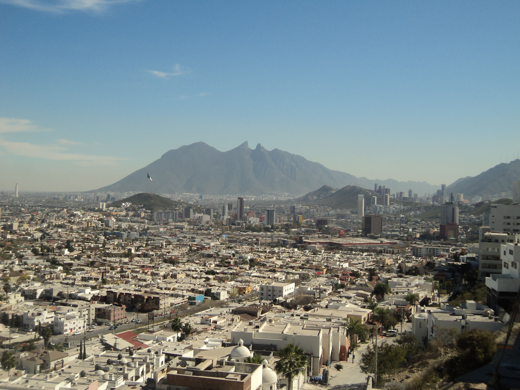
Mexico, Monterrey
FC-01x Future Cities (Self-Paced) - Exercise 1 : "Making the Invisible - Visible"

Uploaded on 2016-09-28 by Cortés -Topete
In this photo I realize that the information we can see at a first sigth is primary about two topics, the residential-work zonification and its proximity within eachother. In one hand we can extract information in the residential topic, regarding the amount of green areas, grocery stores, the type of dwelers, it means; age, gender, economic status and the relation among this demografic characteristics and its primary activities for instance work, study and shopping. In this case I see that we can deeply analyze both topics regarding its proximity by mapping the distance between this residential area and their activity destination, in order to gather information and evaluate the attractiveness of those destinations. Secondly, the picture show us the labor activity in the office buildings. At the center rigth of the photo we can see an aglomeration of tall buildings, behind the hill of loma larga we found an important office areas were all typical problems of mobility as traffic come alive every day. Visible information tell us that the office area is located far from residential areas, wich leads to long journeys that force to use the car as the best way to get in time to destinations, due to the lack of public transportation infrastructure. In this case it could be benefical to extract information about the patterns of mobility in office areas and their distance to nearest residential areas in order to achieve other ways of trasporting nearest workers to their work as a ligth train or bike paths to reduce the amount of traffic and time for those who live far from their office building. This picture was taken by Martha Beatriz Cortés Topete