Canada, Brantford
FC-01x Future Cities (Self-Paced) - Exercise 1 : "Making the Invisible - Visible"

Uploaded on 2020-06-06 by Christina Mogk
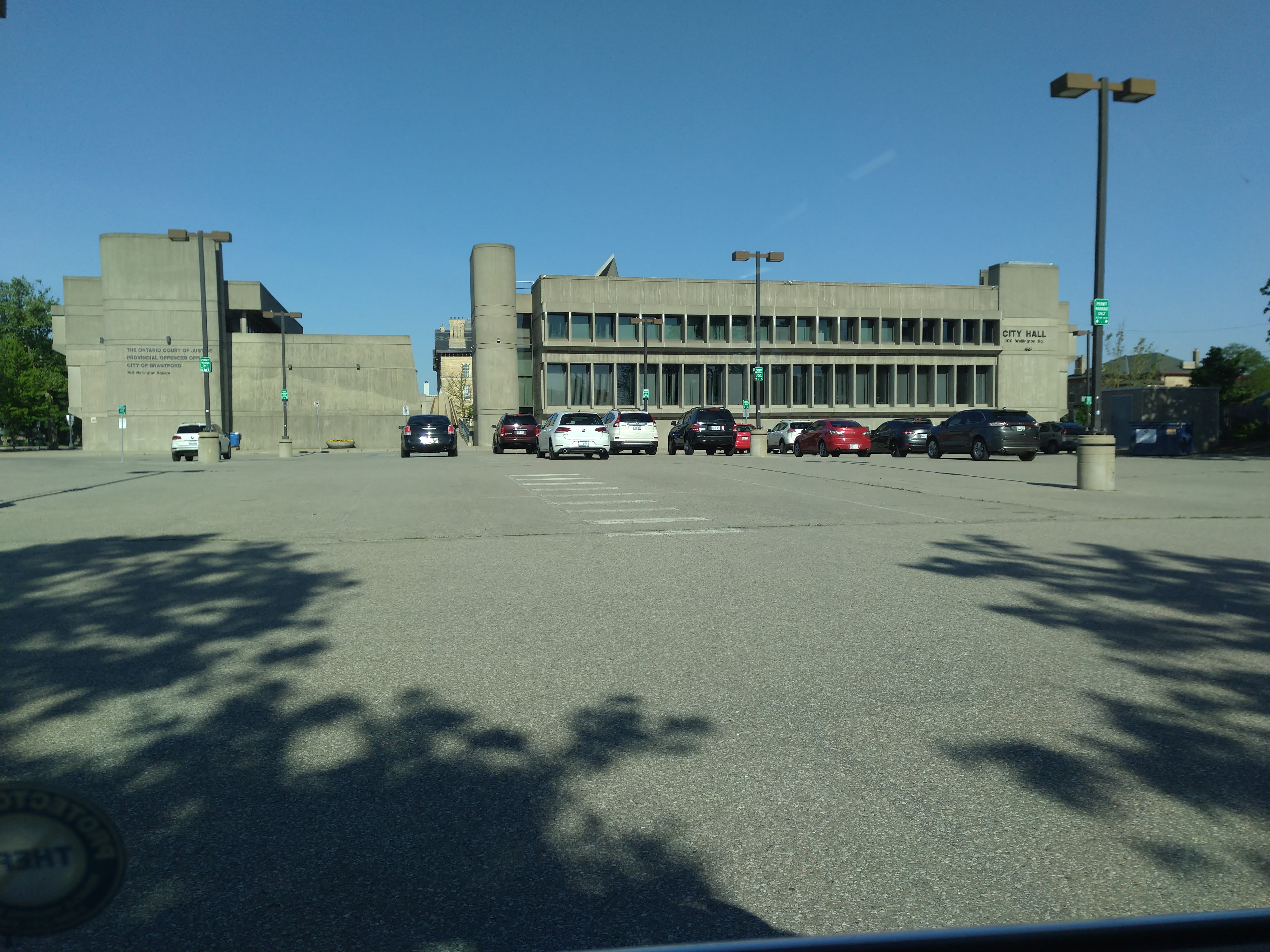
This photo was taken during COVID-19 restrictions. The buildings shown house City Hall, the County Administration, the Building Permits offices, the Superior Court of Justice, and the Brant Land Registry Office. The Court has invisible information related to relative safety. What types of crimes are being committed? How often and by whom? What's the ratio of new to repeat offenders? What types of sentences are most effective in reforming offenders? Between the Land Registry and Permitting offices, there’s detailed land use information. How much farmland remains? What's the concentration of residential, commercial, and industrial buildings? What types of buildings are being constructed, renovated, or demolished? Using historic information about floods and sewer performance, maps can be layered to identify hazard zones. Combining this information with future weather models and sewer decay and use models, they can determine where best to build. Low-risk areas can be earmarked for concentrated redevelopment. Existing maps could identify brownfields and vacant lots for reclamation and revitalization. Thus would use existing infrastructure and build more dense, livable neighbourhoods. Historical data can also be combined with census projections to identify future population trends.