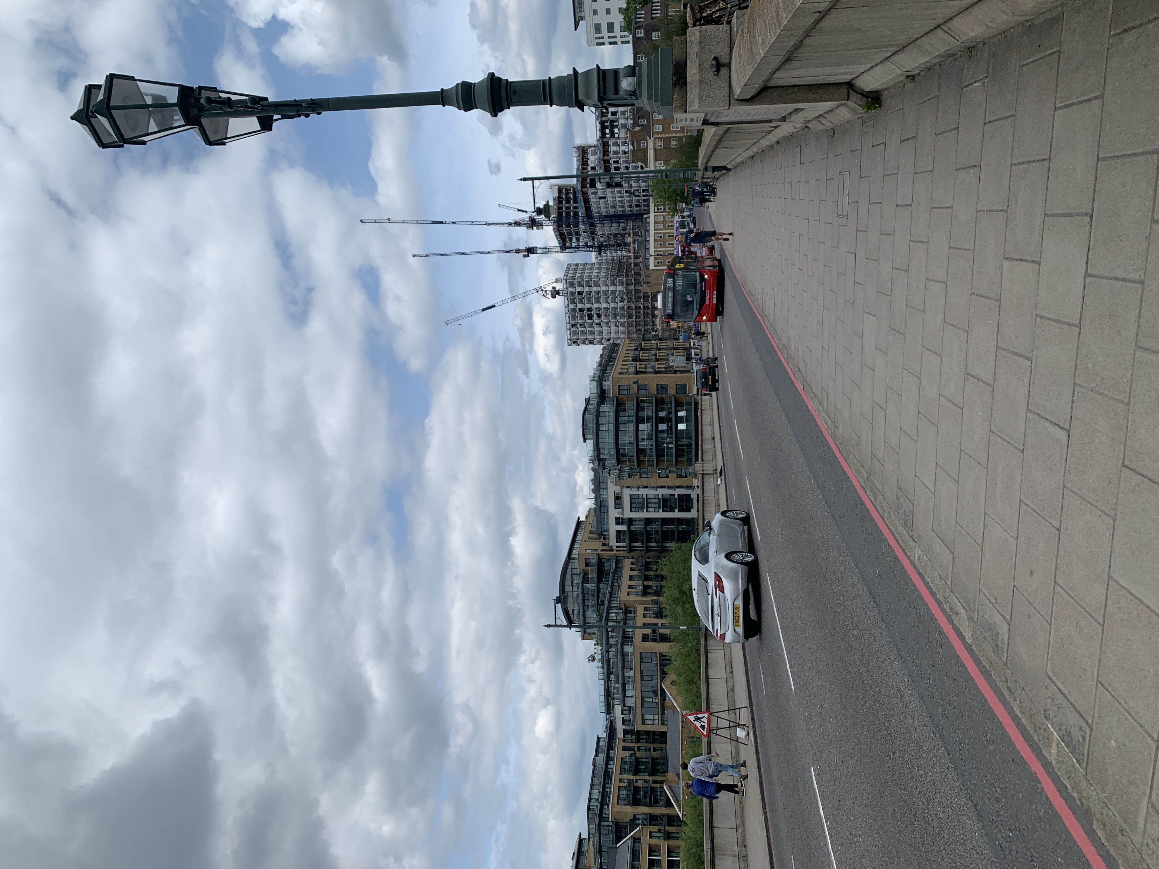
United Kingdom, London
FC-01x Future Cities (Self-Paced) - Exercise 1 : "Making the Invisible - Visible"

Uploaded on 2020-06-05 by B Sazer
1. This area is mainly residential, with some small shops, pubs and restaurants to cater for the nearby inhabitants. The road that runs along the bridge provides one of the main access points from the southwestern suburbs into more central areas of the city, as well as a train station nearby. This means the area experiences the heaviest pedestrian and vehicle traffic during the hours people travel to and from work. 2. The two pieces of invisible information that can be extracted from this photo is the most used direction of travel, to help categorise what type of area this is, as well as the most common purpose of travel and most used method of travel in the area. 3. The invisible information of the most common reason/method of travel can become knowledge as it will help determine the needs of the travellers and inhabitants - for example, if it is found that the area is used mostly by cyclers, more facilities and space could be provided in the re-planning of the area to cater for these people.