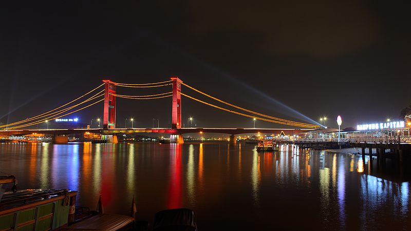
Indonesia, Palembang
FC-01x Future Cities (Self-Paced) - Exercise 1 : "Making the Invisible - Visible"

Uploaded on 2020-05-31 by Nicholas Axel Sugiarto
So this is called the ampera bridge, below it is what we call the musi river, and there is also the area along the riverside where people usually hang and take pictures either as a tourist or even as locals. In my opinion this area resembles information architecture because it was made (in 1962) based on the information about the civilians needs, behaviour, and tendencies, along with the ground (terrain), and also by considering the water transportation that is going by daily. As our city is divided by the river, it was impossible for land transportation to get to the other side for various purposes (business, trading, visiting). So this bridge was built to ease transport and also civilians commuting while considering the space for water transportation to pass. The middle part of the bridge is able to be elevated to allow big water transports to go by, however for the little ones, it is possible to pass just below the bridge. It shows that the bridge itself is an architecture which was build accordingly considering the information about the civilians, transport, terrain, and it also went several experiments and research. This bridge in my city represents the early IA