United States, New York City
FC-01x Future Cities (Self-Paced) - Exercise 1 : "Making the Invisible - Visible"

Uploaded on 2020-05-09 by Gregory Wilson
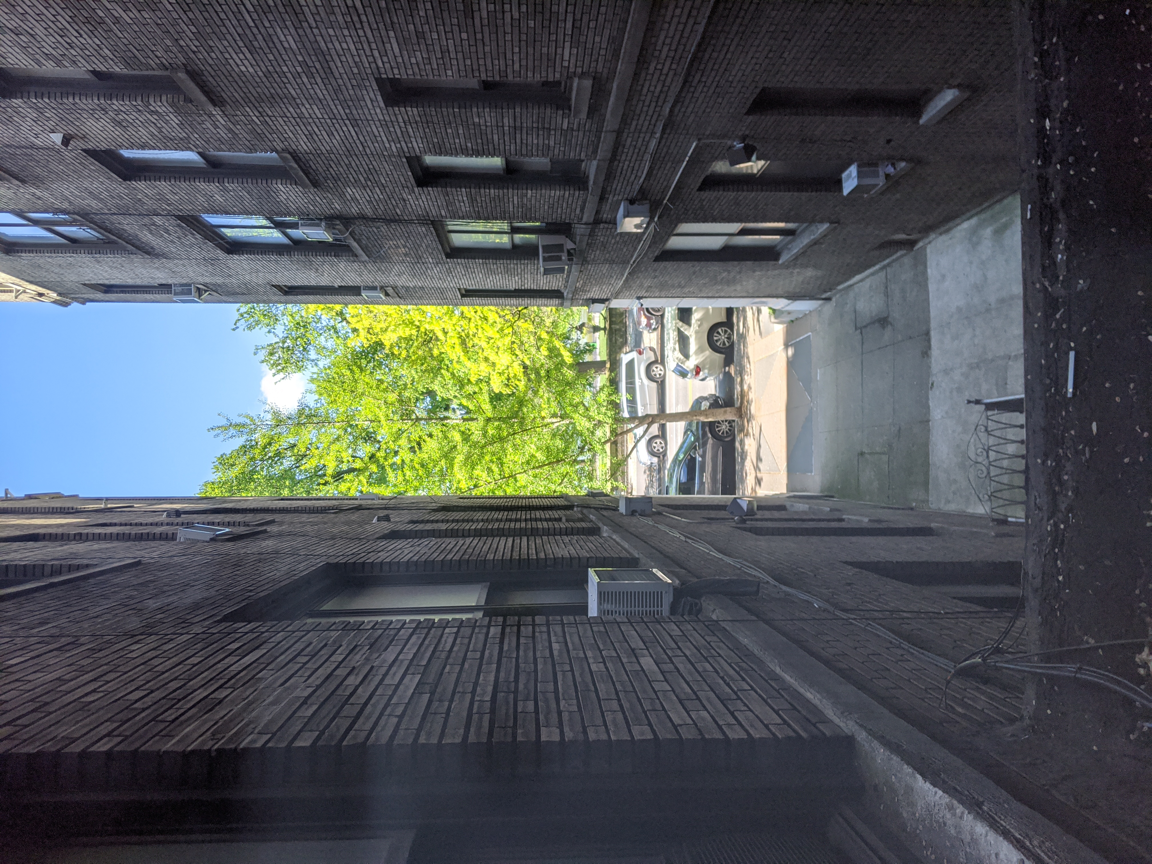
This photo is taken from my apartment window. The visible information in this image includes the park across the street from the apartment buildings. You can see the densely populated buildings on my side of the street and the open park space on the other side. You can also see the cars parked on the street and there is a bus stop in front of my apartment and a subway station on the corner. There are also people running and exercising in the park, but less than is typical are in the park due to the social distancing mandate in place here. From the visible information, we can extract information on how people are moving around the area and see the change in that movement from the social distancing mandate. We can also extract financial information on the people in the park compared to those living nearby. Extracting this information allows us to see who is taking advantage of the public park space and where public spaces are needed most. Are those living nearby able to take advantage of it? Or do people need to travel to take advantage of the public spaces?