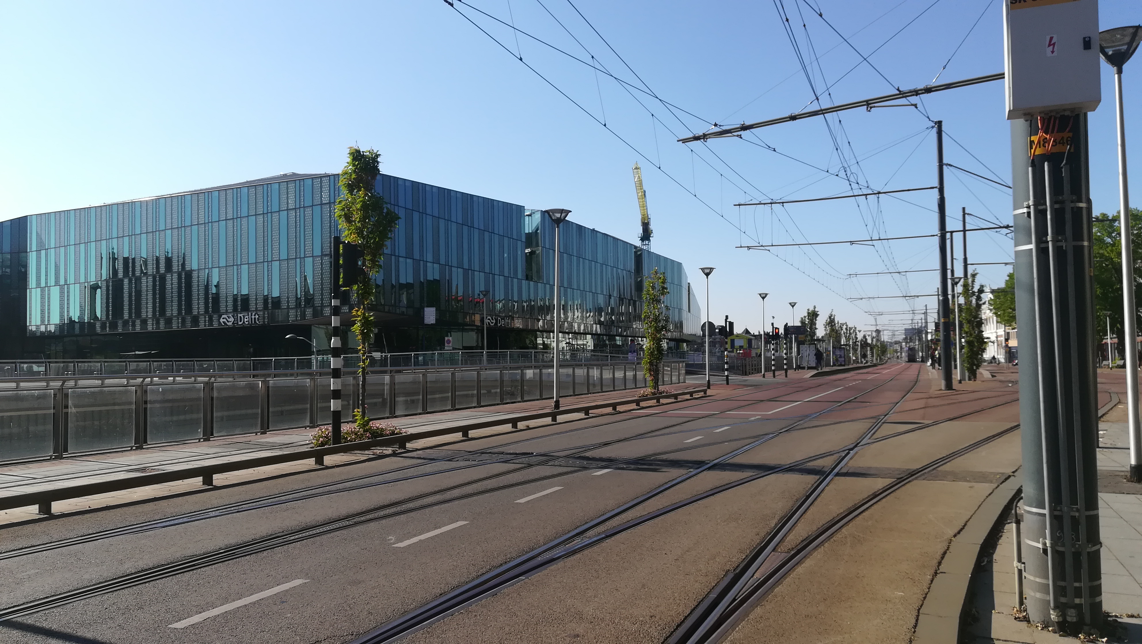
Netherlands, Delft
FC-01x Future Cities (Self-Paced) - Exercise 1 : "Making the Invisible - Visible"

Uploaded on 2020-04-27 by Lydia Giokari
The picture is taken in the city of Delft (the Netherlands). The depicted spot shows one of the busiest streets of Delft, the one connecting Delft station with the city. In the picture you see the Station and the tram lines. The invisible information that can be withdrawn are the traffic flows, the urban centrality of the location and the travel behavior of people (with which modality or way they arrive/cross this location). Everyday and especially peak hours a lot of people arrive from the station to the city while others are using this road to get to the station and travel to their destination (away from Delft). Different groups of people (students, employees, residents) that arrive to the city are either orientated towards the city center or the TU Delft campus and are passing by this spot. The specific location has very important urban dynamics due to the big number of people visiting and using this passage. Also, what differs is if people are crossing this location on foot as pedestrians, by bike or arrive with the bus to the station. The mapping and modelling of this data could help us design a more suitable urban junction.