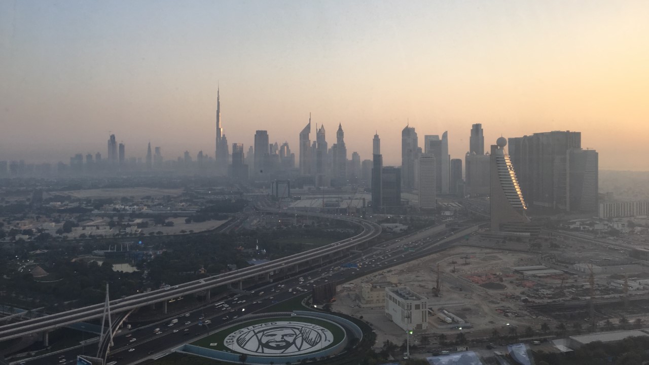
United Arab Emirates, Dubai
FC-01x Future Cities (Self-Paced) - Exercise 1 : "Making the Invisible - Visible"

Uploaded on 2020-04-16 by Mohamed Fikri
I chose this picture precisely because it reflects several things about Dubai and is a great example of making the invisible visible. The most important thing in it is Sheikh Zayed Road which acts as the major artery of Dubai’s road network. Furthermore, we have the spectacular skyline, as well as the houses in Za’abeel neighborhood. We also see several construction sites that reflect the continuous development happening in Dubai. We can extract several invisible information out of this photo. However, the most important information is the traffic which can give us a lot of information and data about Dubai’s road network, such as patterns of travel behaviors. The second invisible information is the number of businesses located/based in Dubai. We can analyze this through the number of buildings and skyscrapers located in Downtown Dubai and further on Sheikh Zayed Road. As mentioned above understanding and analyzing Dubai’s road network will contribute to better planning for future demands and also contribute to transforming Dubai into a more livable urban space as Dubai is looking forward to welcoming more and more people in the future, especially after the Expo event which they rely on to bring more businesses to Dubai.