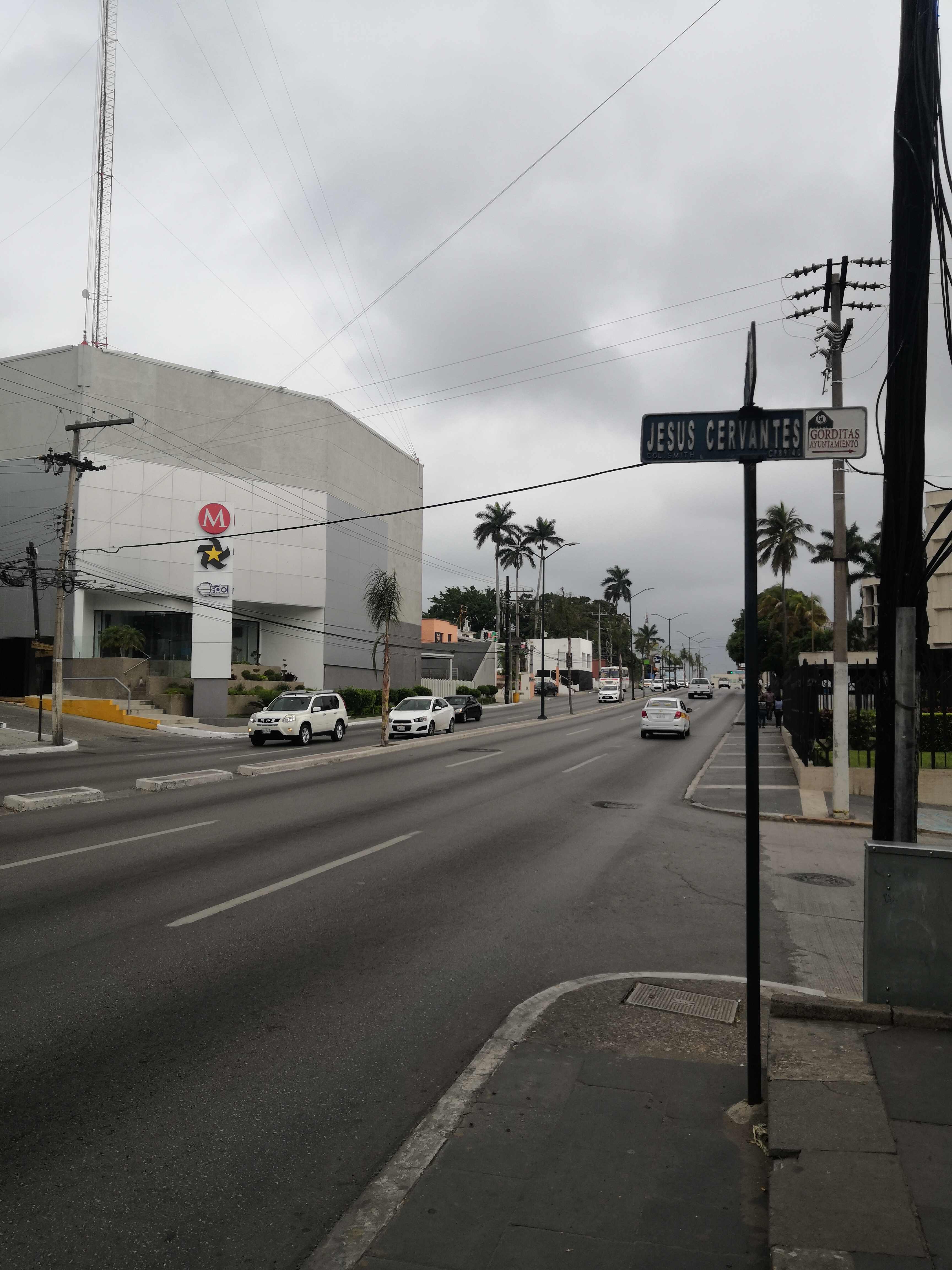
Mexico, Tampico
FC-01x Future Cities (Self-Paced) - Exercise 1 : "Making the Invisible - Visible"

Uploaded on 2020-04-08 by Melissa Pazzi
This is a photo of the principal avenue of my city, the visible information we can observe here is that this avenue runs from south to north of the city, half of it is a six lane avenue (thee from north to south, 3 form south to north), the other half is a ten lane avenue (five lanes south to north, 5 lanes north to south), the buildings are built over the principal avenue, there’s no space for parking, the avenue doesn’t have specific lanes for each type of vehicles (public and private), the avenue doesn’t have space for bycicles or specific crosswalks. Two invisible information about this photo would be how on on peak hours the avenue presents a lot of traffic or how on some points of the principal avenue the traffic is lower, than in other areas. This shows the centrality of the city and we can measure which are the busiest areas, knowing this fact and analyzing this data can help us learn which areas need a faster solution to traffic problems and how the citizen behave a develop according to their needs.