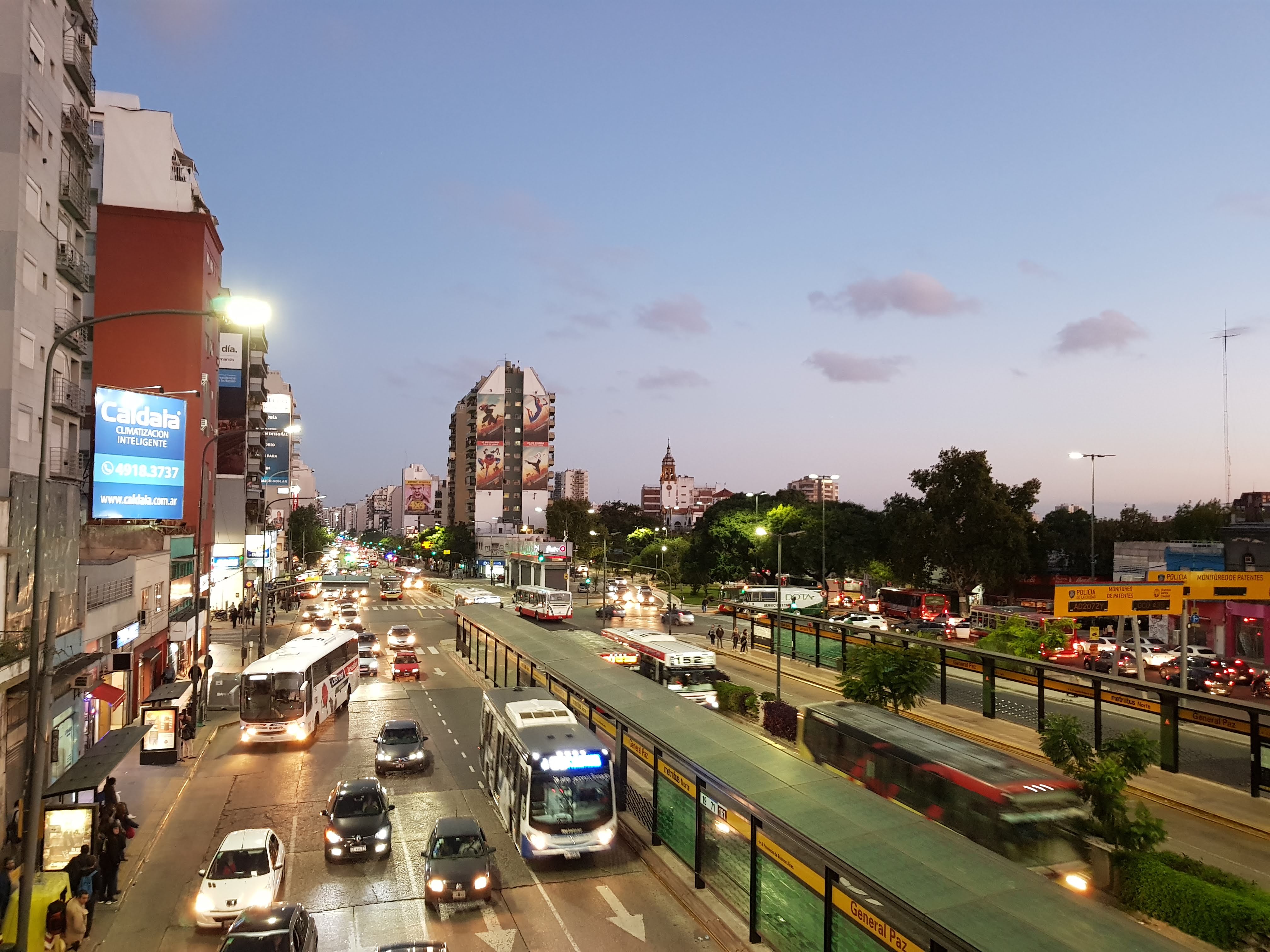
Argentina, Buenos Aires
FC-01x Future Cities (Self-Paced) - Exercise 1 : "Making the Invisible - Visible"

Uploaded on 2020-04-08 by Ian Beatti
This picture was taken by me in Avenida Cabildo, one of the main avenues of Buenos Aires. You can see the avenue full of cars and buses, shops and stores in the ground level and housing in the upper ones. This is a central connection point between the city and the suburbs, a lot of vehicles go by this avenue every day, you can see bus stops in the middle of the avenue to decrease the amount of people waiting in the sidewalks, so people who are shopping or just going to their homes doesn’t collide to bus passengers. Also, it helps to prevent traffic jam by sending the buses on middle rails and cars in the edge ones. On the invisible information, we have a huge number of drivers who uses GPS services, most of them with their phones, enabling this one to use their locations, and with this sharing information about traffic flow. On the other hand, passengers on public transport use intelligent cards to take the buses, providing information about amount of passengers, hours of travel and locations where it has been used.