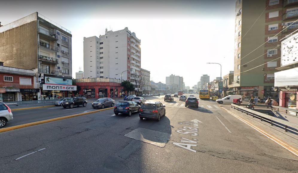
Argentina, Buenos Aires
FC-01x Future Cities (Self-Paced) - Exercise 1 : "Making the Invisible - Visible"

Uploaded on 2020-04-08 by Victoria
The photo is taken from Google Maps. In it, you can see an avenue packed with cars and buses, shops and markets along the sideways. Sidewalks are wide, allowing a stroll pace from potential shoppers, as well as a rapid pace from those wanting to catch a bus. Traffic lights are displayed every two blocks, thus making traffic more fluent. Nevertheless, this causes pedestrians to struggle in wanting to cross from one sidewalk to another. Here appears the first invisible information: shops and markets located in the blocks where there are no traffic lights have less customers than those on the blocks where traffic is interrupted by red lights and pedestrian walks. Most cars nowadays use GPS, and by enabling their smartphone to use location services, they are sharing information about traffic flow, possible accidents and detours for other users to anticipate the best route. This information is not visible, but it can be useful for public entities to improve the travelling experience and prevent traffic jams.