Portugal, Porto
FC-01x Future Cities (Self-Paced) - Exercise 1 : "Making the Invisible - Visible"

Uploaded on 2016-09-16 by Francisco Melo Vergueiro
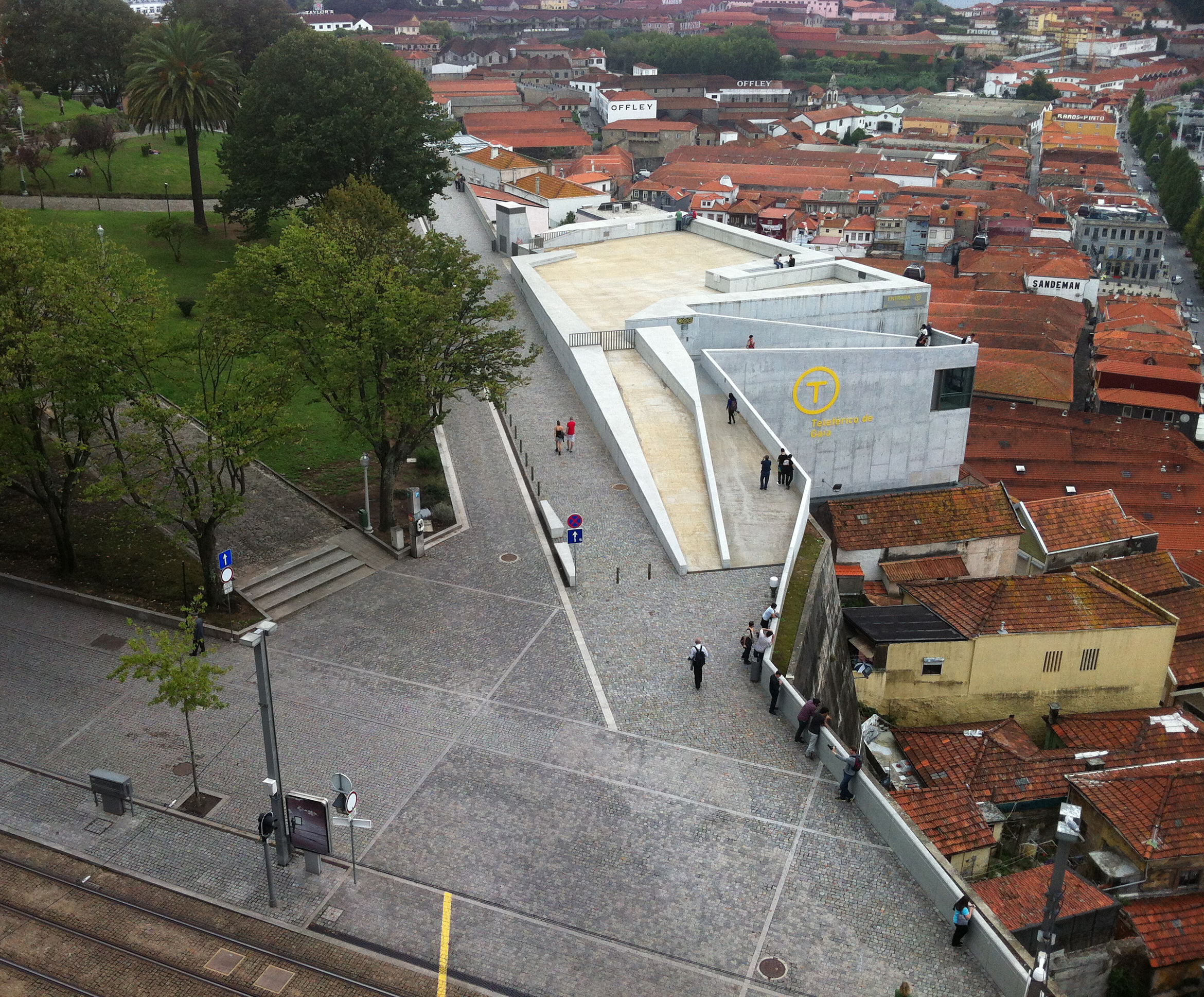
The main visible elements that structure this urban scenery are: a garden; a structure that supports a sytem of cables cars and at the same time functions as a sightseeing; it´s possible to observe the tracks of the subway and also some density of users on a specific area that´s close to the referred structure. In fact, this area is very important because it´s located very close to the bridge that connects Gaia and Porto, so the flow of traffic and people are a vector that transform the dynamics of this urban system. One invisible information is associated to the density of the users and the condition of sightseeing. This area became very famous for the tourists, and local users, because of the unique views that compose the envolving scenario. With this in mind and the emerging use of social networks (Instagram, Facebook, Twitter), it´s is possible to gather data of the appropriation/living patterns that users have at this specific area. If we cross different photos, of different users, it´s possible to achive some conclusions that can optimize some strategies applied in public space design. The second invisible information can be extracted from the subway. The sensors allocated at this system allow the analysis of travel patterns and consequently the patterns of urban functions. Like I mentioned in the first invisible information, with the right approach on the analysis of this area in the social networks (hashtags, pins,vimeo, etc) maybe it´s reasonable to say that´s possible to create a data base of perception/appropriation patterns of the users. With this background it´s easier to take decisions on the matter of living this urban area, promoting a resilient system that adapts to the frantic rhythm of contemporary users.