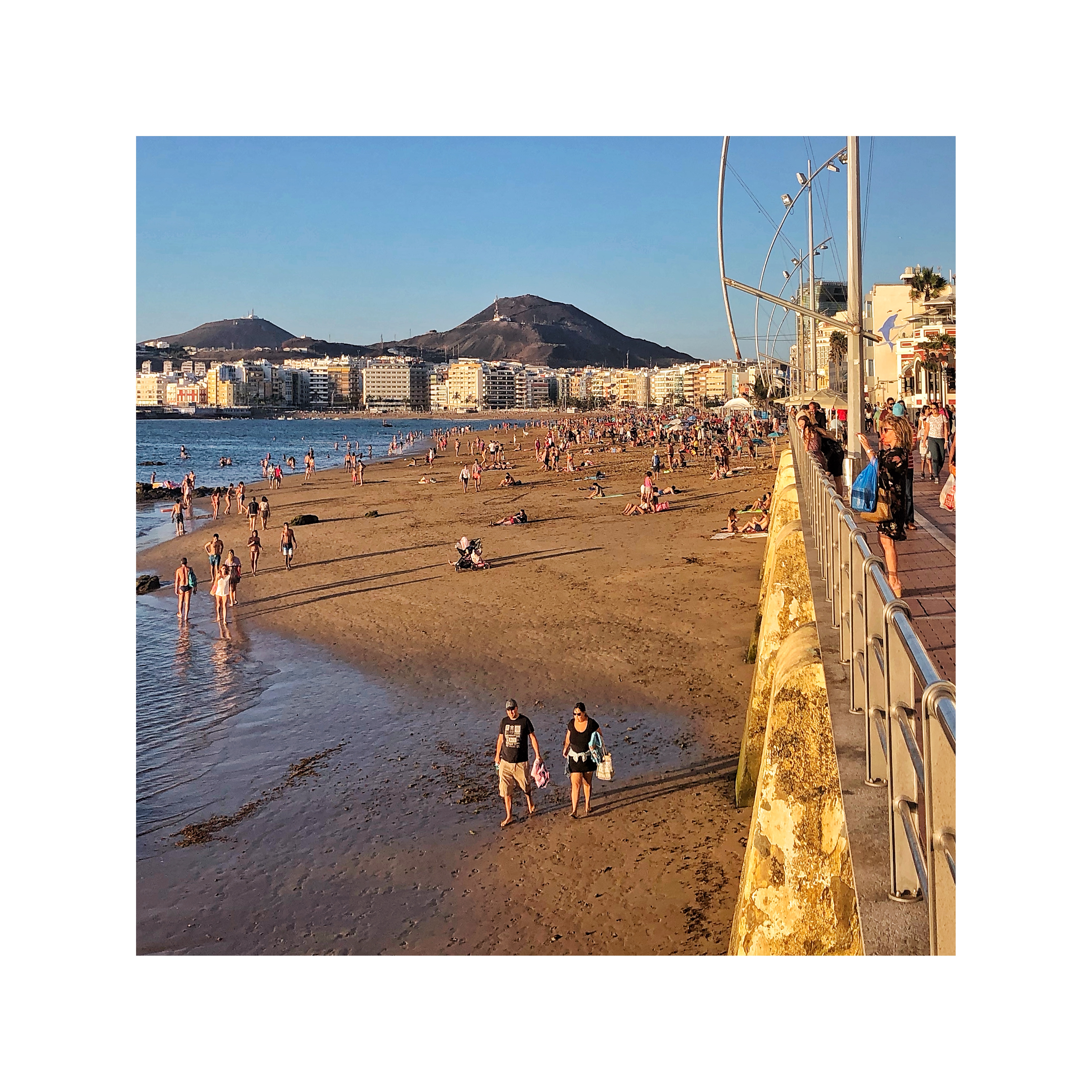
Spain, Las Palmas de Gran Canaria
FC-01x Future Cities (Self-Paced) - Exercise 1 : "Making the Invisible - Visible"

Uploaded on 2020-02-19 by Jorge Castro
This is a photo of the beach in my city, Las Palmas de Gran Canaria. This is the main city in the Canarian archipelago. We have lots of visible information. We see the buildings, their height, the setback in upper stories, avoiding to shade the beach. we can count people standing there, look at the clock and find what time it is, We can check the temperature and take a walk looking at the stores and restaurants in the base level of the promenade. If we are able to collect the data mentioned above across time, we can really create models of information that make the invisible visible. We can recognize patterns. In this case we can evaluate the impact of natural resources within cities, using volume of visits per day, compared to the censal population of the area. The volume of commerce as an indicator of urban activity. We can collect the information of real state agencies' websites and compare rental prizes. We can use the info for improving liveability or sustainability in that particular area, and we can upscale that to improve the way other cities use their natural resources, or find new opportunities along the territory.