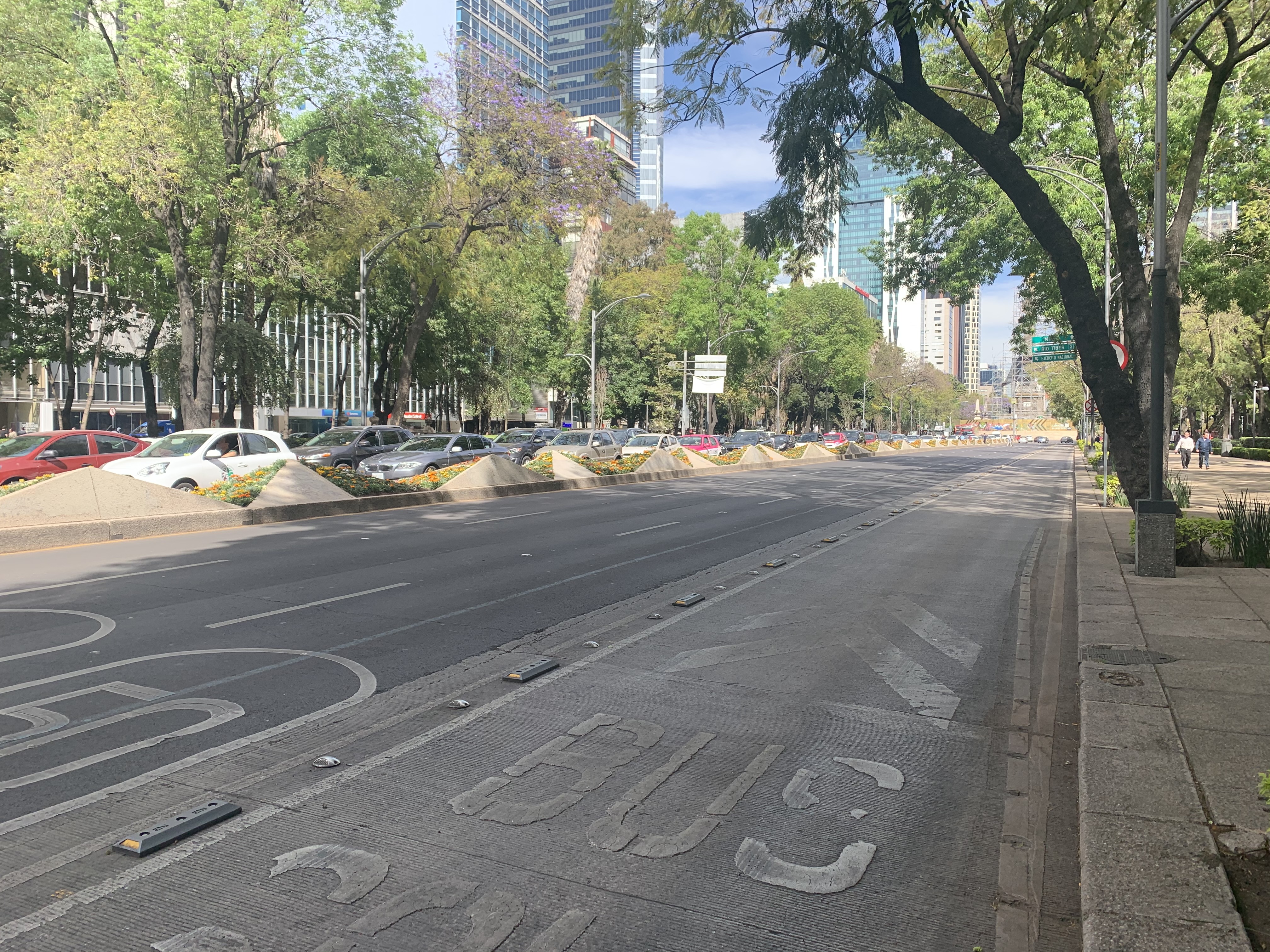
Mexico, Mexico City
FC-01x Future Cities (Self-Paced) - Exercise 1 : "Making the Invisible - Visible"

Uploaded on 2020-02-06 by Guillermo Ramirez
In this image we can see one of the most important avenues in Mexico, Paseo de la Reforma. The visible information that we can take from the image is : -There are three lanes for cars and one private lane for the public transportation and buses in each side of the road. -One side is empty at 3p.m and the other one is full of cars -Another visible information we can take from the picture is that this is an avenue full of trees and wide sidewalks, big corporate buildings and at the back of the building we can see El Angel de la Independecia, one of the most iconic monuments in the city. The invisible information we can infer from this picture is: -The cars that are in the full lane are probably going to eat, and in that way there must be more options to go and have some food. -Some people must be using Waze or some gps app, that is some information about traffic, how the people moves, places they go and the time of the day. That information can be used to plan the urban fabric of the city according how people moves.