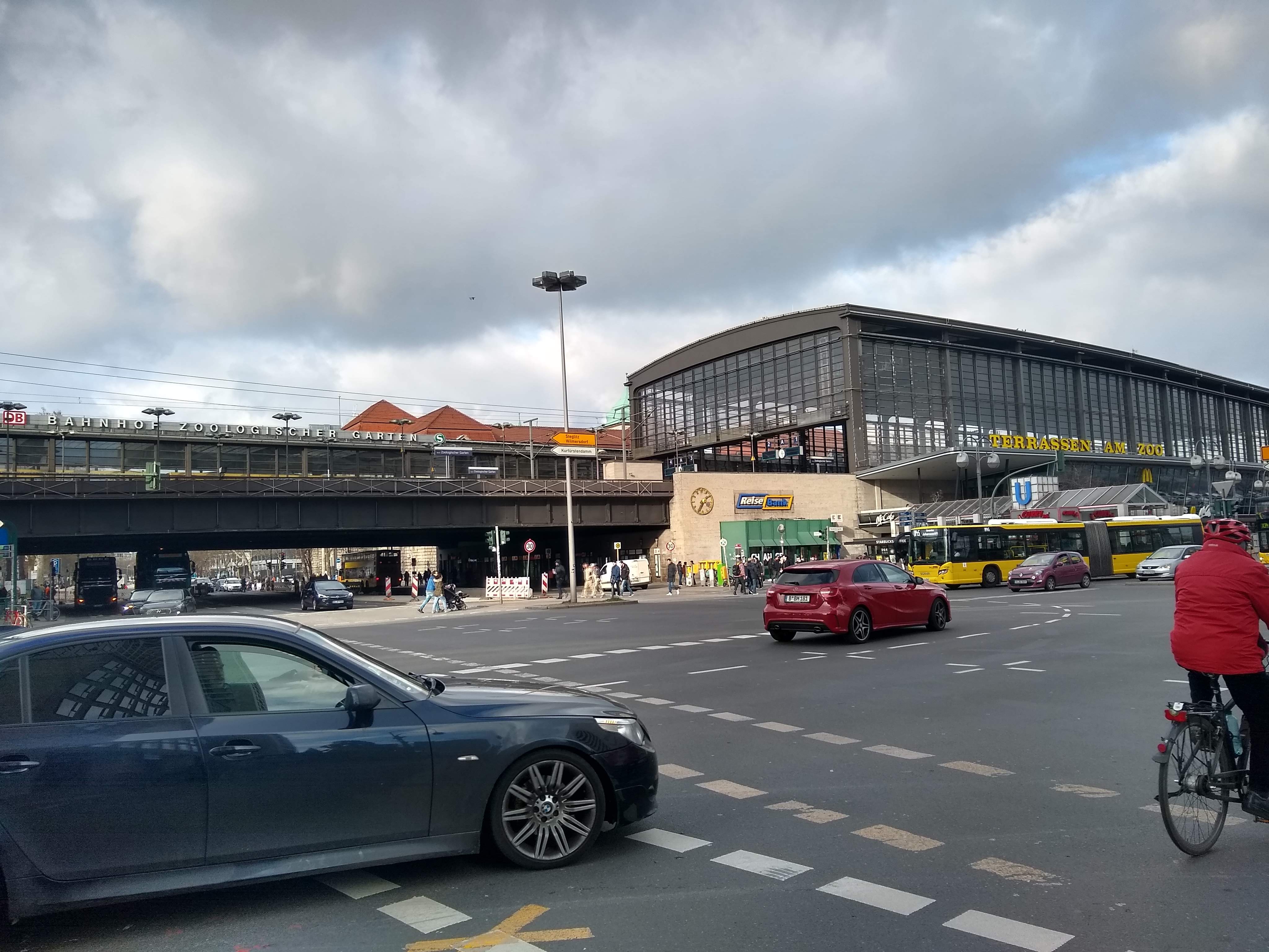
Germany, Berlin
FC-01x Future Cities (Self-Paced) - Exercise 1 : "Making the Invisible - Visible"

Uploaded on 2020-01-25 by Leah Hamilton
In this photo you can see: trains, cars, cyclists, and pedestrians (transport traffic flows); stores (customer volumes, what items they sell); buildings, how tall they are, as well as (in some cases) the building’s purpose (station, shop). Two key pieces of invisible information would be: Passenger flows for the trains, buses, cars, cyclists and pedestrians, volumes at different times of day, how different parts of the population travel, and for what purposes. Air quality levels and pollution levels in the area, measured by Air Quality Index sensors, traffic flows, satellite data, any active fires, etc. With respect to passenger flows this information can become knowledge by seeing how people travel, and whether most people use additional transport to get to further locations, or whether the station is their final destination. You could gain knowledge about what this area is used for, and then shape it to fit that purpose better. E.g. if most people used the area as an interchange hub, you could increase the number of bike-sharing bikes available, build faster transfer routes between connections, and encourage the construction of stores and services that are most-used by travellers.