Brazil, Brasília
FC-01x Future Cities (Self-Paced) - Exercise 1 : "Making the Invisible - Visible"

Uploaded on 2019-08-01 by Rodrigo de Azevedo Santa Cruz de Oliveira
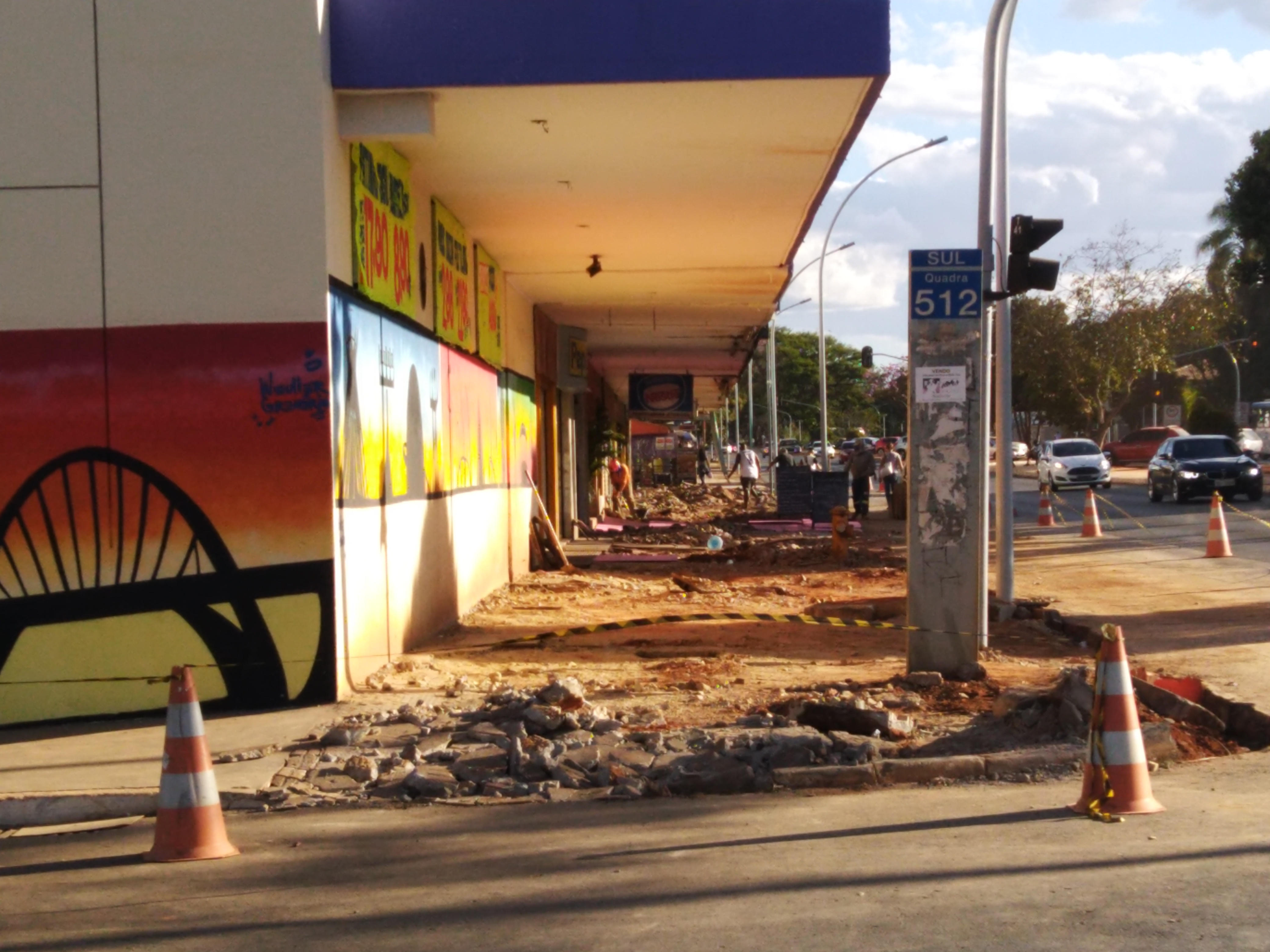
This photo was taken on the W3 South road. One of the main avenues that cuts the capital of Brazil from one corner to another. Its main feature has always been trade. With the emergence of malls, its commerce has lost its strength and a large part of the stores is closed. Its roads continue with great flow of vehicles. The movement of public transport has grown, mainly due to the growth of the surrounding areas, with large number of hospitals and schools. Analyzing the services offered in a range of 600 meters, with data from RAIS (Annual Report of Social Information), CAGED (General Register of Employees), it is possible with GPS data of users, traffic system, data from telephone operators. Thus it is possible to identify the profile of the region, identify future trends, enabling actions to improve the quality of life. In the figure is identified a work that is being done, creating an accessible route that connects the subway system, with the health and education center (radius of 1 km). Formed by sidewalks and shared bike paths, in addition to living spaces, Portuguese sidewalks, LED lighting. This shows trends towards improvement.