United States, Boston
FC-01x Future Cities (Self-Paced) - Exercise 1 : "Making the Invisible - Visible"

Uploaded on 2016-08-28 by John Fay
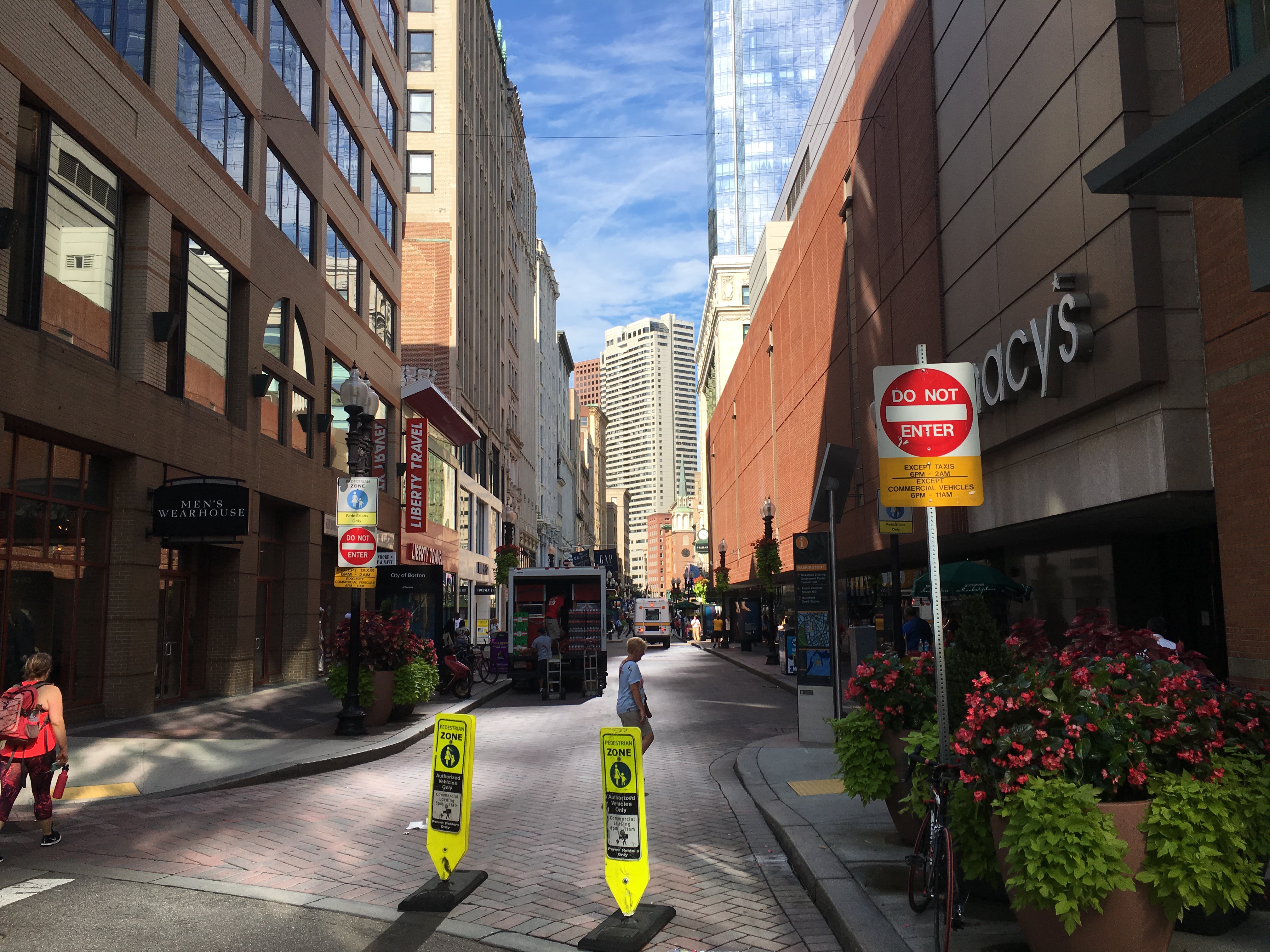
1. Invisible information from the photo- City dedication to economic development and sustainment; continued utilization of aged, narrow city streets, despite increasing size of vehicles which travel over them. Boston's downtown street layout is full of winding, narrow streets which have been created as landfill has been added to increase the city size. This current usage of Washington Street exhibits the dedication of city officials to economic progress. Since Boston's daytime population has an influx of nearly 1 million, the time constraints put on vehicular traffic through signage display their migration timing. Planters placed along a chicane, which subtly suggests (complimentary to signage) to drivers that street usage going through is limited to pedestrians. 2. Describe how this invisible information can become knowledge and contribute to the planning of a more livable urban space. Planners could use the information of times and locations of when the city becomes more densly populated to create knowledge of daily migratory patterns of workers. This knowledge of migratory patterns could be used for additional denial of access projects in other high foot-trafficked areas, which would contribute to a more livable urban area. Additionally, many public safety departments (police, fire, EMS) could utilize the knowledge of migratory patterns and timing to assist in their mission; ensuring adequate staffing for response or plan routing around high hazard areas for expeditiousness.