Uploaded on 2019-03-13 by Lara Nuñez
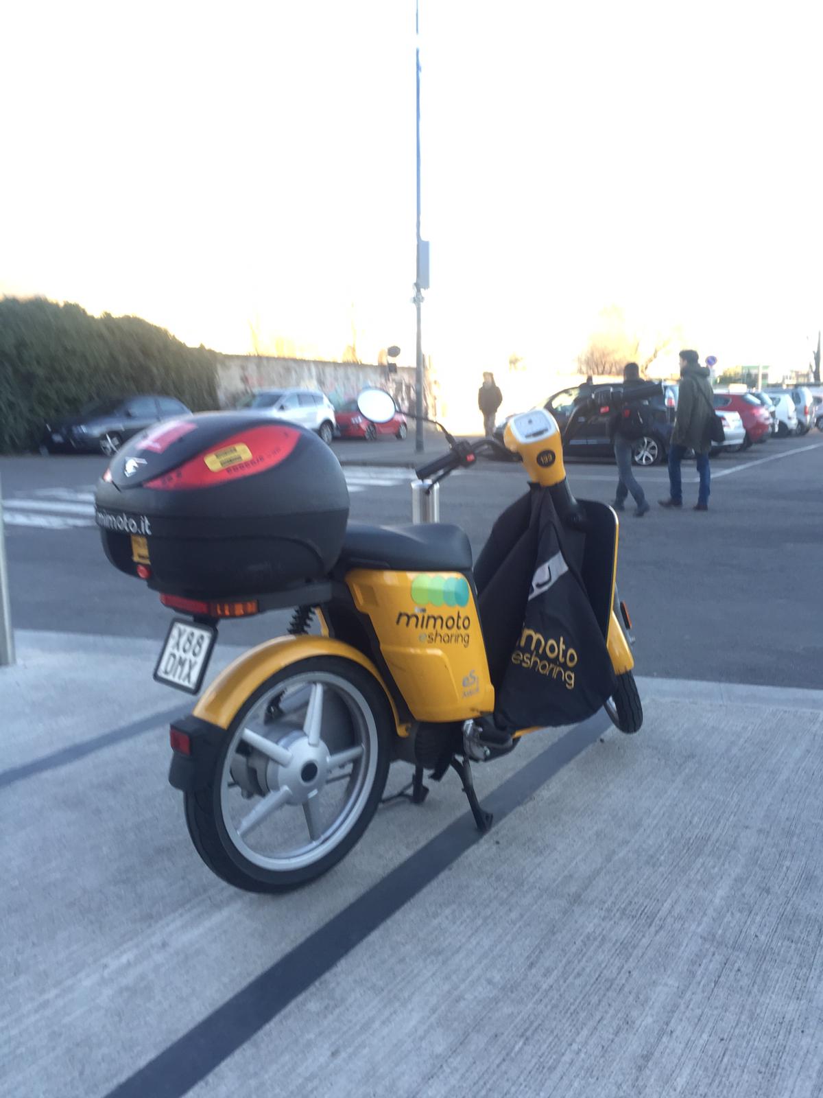
One of the invisible information I have been thinking about Milano, is that you can get all the city density and mobility all day long just with the users's smartphones information when they do carsharing or motosharing. When they use the app in orther to get the car or the scooter, you can know where they are, and because of the microchips inside every car or scooter you can know the itinerary they have made during the day. Another situation I've been thinking is the highway barriers. I mean, when you see some barriers worn as if they have been there for many years, and then you see a barrier that seems new respect the others; then you can know that there has been some accidents in that exact point and you can came up with an idea to solve the situation.