Uploaded on 2019-02-02 by the imagen is taken of the web page of Official tourism website
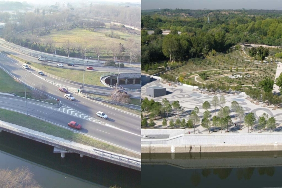
M04-E2 Answer 3 A. it would seek to understand and identify, the isotherms as a whole, create a statistical base from permanent measurements, at strategic points that would complement the local meteorological data. B. Perform a study of architectural typologies to establish from their use, problems, material composition, urban distribution, own energy behavior. C. Cross the data for build more accurate dynamic maps, which would contrast with the growth data of the city. Then verify the thermal behavior in real conditions of the UHI, determining the periods of overheating, identifying the population groups at risk. It would help to correct the errors of energy calculation, improve constructive parameters and of action in the rehabilitation and establishing priorities, criteria and logical guidelines, for new policies of general intervention. D. From the above, start by increasing green surfaces, prioritizing the roofs of buildings that can reduce the temperature by 2-3 degrees. also shading of pavements with trees, all zoned in such a way that there is connectivity between the green bodies. In terms of materials, of organic origin with a range of high albedo and light colors, permeable floors generating humidity that by evaporation, will dissipate the heat, will reduce the stress.