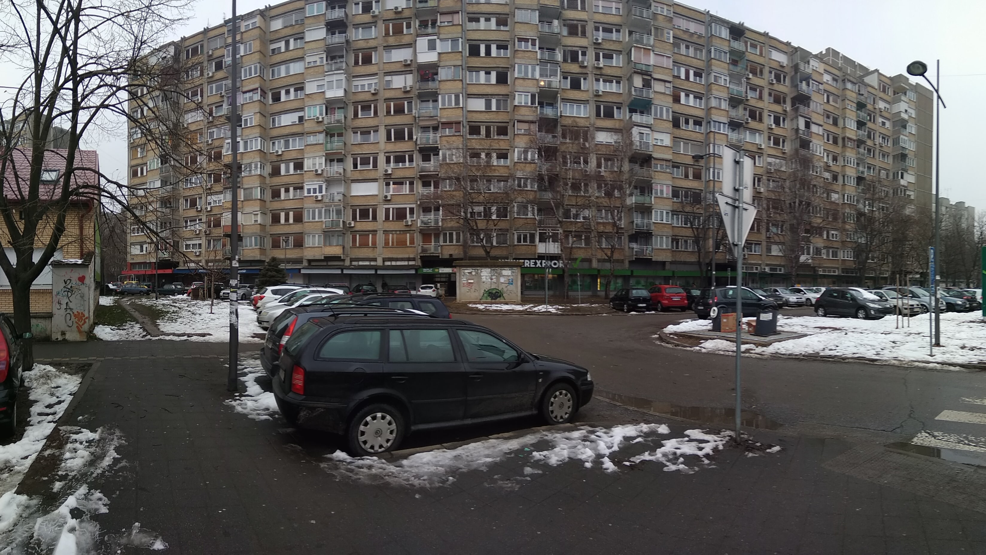
Serbia, Novi Sad
FC-01x Future Cities (Self-Paced) - Exercise 1 : "Making the Invisible - Visible"

Uploaded on 2019-01-31 by Goran Segedinac
This is panorama photo taken in front of the building I live in. On the far left side, we can see unused space (between the wall and parking), apartment building and parked cars. We can also see the front of the grocery store. Invisible information: 1. The social structure of apartment occupants (marital status, age, level of education) 2. Number of registered drivers in the building (we see many parked cars and the photo is taken around 9 AM when many of them should be on work so this should be checked) 3. CRM data from the grocery store How can we use it to make more liveable urban space? Unused space on left side could be transformed trough urban pocket or urban acupuncture approach. While combining gathered data we could discover interesting information and gain knowledge about real needs. For example, cars on parking may be there because pensioners are a dominant social category. We will confirm it with data about apartment occupants (from the city communal services database). If grocery store share statistic about purchasing habits,we could find out that urban gardening may be something which will be welcomed.