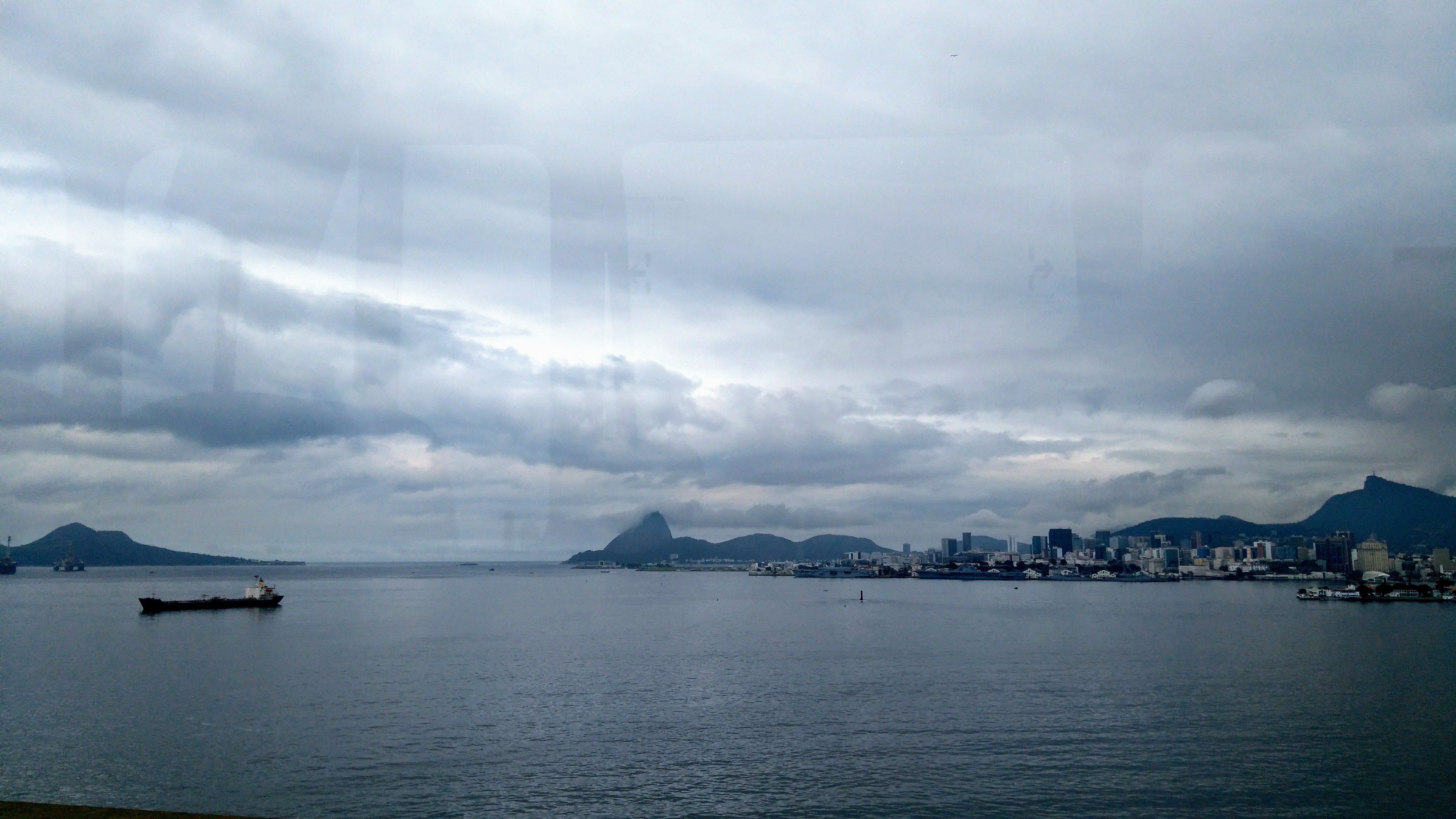
Brazil, Rio de Janeiro
FC-01x Future Cities (Self-Paced) - Exercise 1 : "Making the Invisible - Visible"

Uploaded on 2018-11-01 by Leticia Machado Botteon
This is a photo of the Center of Rio de Janeiro taken from the Rio-Niteroi bridge. Visible information: it's really easy to notice the high number of buildings at the right side of the picture, the Guanabara bay, the ship loaded on the left side, not so easy to see but far at the bay we have a boat used to cross people, and at the left side a Petroleum platform. In the middle of the photo is located the Santos Dumont airport of Rio de Janeiro, and in the background it is visible the Sugar Loaf and the Redeeming Christ (right side). Invisible information: the number of residential/commercial buildings, the pollution in the Guanabara Bay, the number of commercial ships that cross the Bay, the number of people that takes that boat to travel/study/tourism every day, all the information about the flights at the airport, the number of national/international tourists that go to the Sugar loaf and the Redeeming Christ. Taking as an example the number of tourists that go to the Sugar loaf every year, it is possible to plan better the urban transport of that area, and also the number of hotels/ restaurants needed to accommodate allthetourists