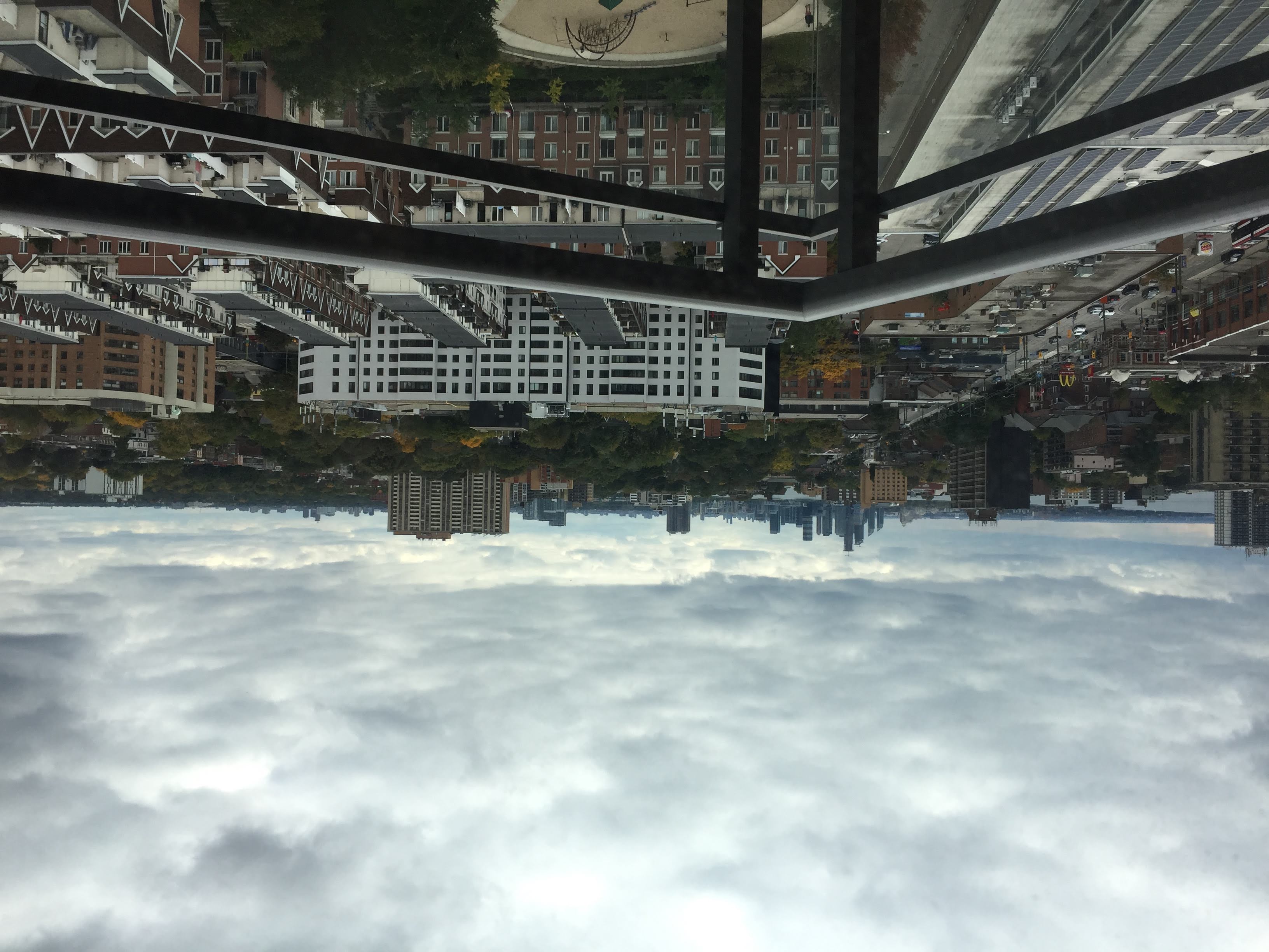
Canada, Toronto
FC-01x Future Cities (Self-Paced) - Exercise 1 : "Making the Invisible - Visible"

Uploaded on 2018-10-30 by Dominique Camps
This photo of Toronto includes visible information, such as residential buildings - apartment buildings, townhouses and detached houses. There are other building types, including commercial and industrial buildings. We also see a road, on which there are pedestrians, cars and a streetcar. There are visible green spaces - a park, a lake, and forested areas. In the distance, there are multiple other skylines. One piece of surmisable invisible information is that this area is in the midst of gentrification. While old industrial buildings are still in the neighborhood, they are no longer in use. Instead, we see far newer residential buildings occupying an increasingly large footprint in the area. This likely indicates a rise in property value in the area. The second set of invisible information points to commuting patterns. The far-reaching urban sprawl indicates massive numbers of commuters, travelling between municipalities and downtown. The invisible information about the daily migration of commuters in Toronto becomes knowledge when combined with millions of data points generated daily as commuters scan their transit passes. Knowledge about the travel patterns of a city’s residents is crucial in optimizing the transit system as a whole, in turn mitigating further congestion and improving residents.