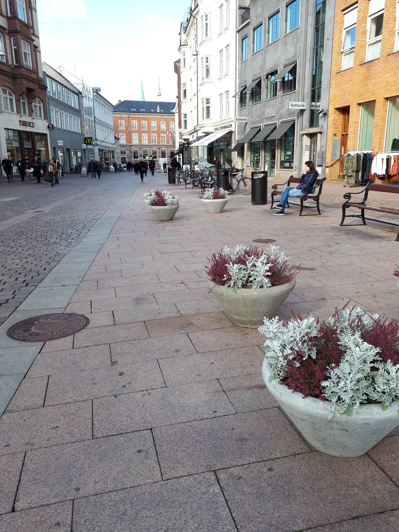
Denmark, Aalborg
FC-01x Future Cities (Self-Paced) - Exercise 1 : "Making the Invisible - Visible"

Uploaded on 2018-10-10 by Isabella Rivera Kjaer
This photo was taken in Aarhus which is not an option so I chose Aalborg instead. In terms of visible information, we can see how people interact with buildings and the “furniture” within this public space (i.e. benches, trash cans, flower pots). Arguably, there is no invisible information that you can glean from this photo, because if you could it would be visible information. I took this photo during an observational research session. During this session, I counted every person I could see for ten minutes of every hour over the course of a day. I also traced people’s walking paths on a map. These are both examples of how one can extract invisible information using data collection. By observing the paths of pedestrians, one gains knowledge about how the space, which in this case was a triangular shaped pedestrian street, was used. I found that pedestrians preferred to use the left side of the triangular space, while the middle and right side of the triangle were barely being used. Alternative uses for the unused space could be dedicated to creating more seating, installing bike parking, or adding a green space, all of which would add to livability.