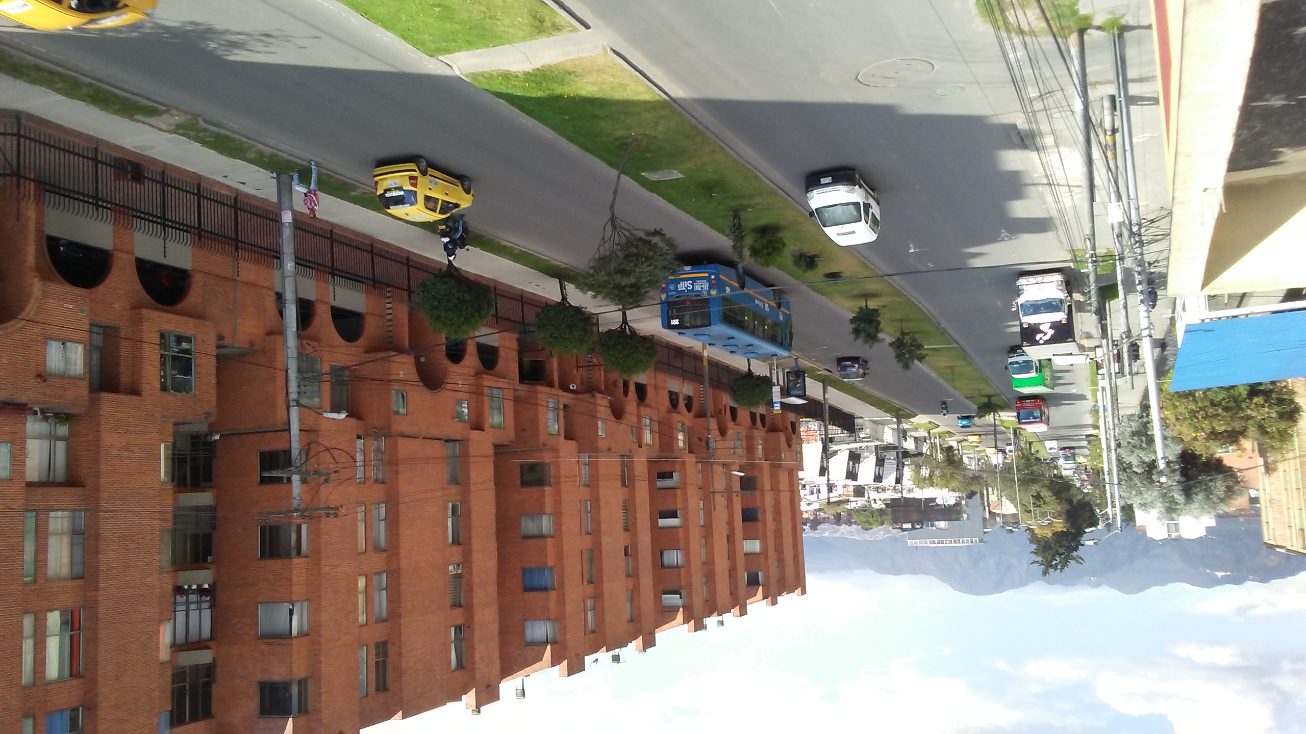
Colombia, Bogotá
FC-01x Future Cities (Self-Paced) - Exercise 1 : "Making the Invisible - Visible"

Uploaded on 2018-10-02 by William Lopez
The picture shows a residential building, some houses, two lanes, in this case, one goes to East (To the mountains) and the other goes to West. Also, we can see the electric system (Cables and utility poles), as it is daytime we can not see the artificial light. This street in peak hours is an escape route westbound to the airport. Regarding mobility, the blue buses are the integrated public transport system which links with the bus rapid transit (BRT) system that serves to my city and finally you can distinguish the taxis for their yellow color. Now, I'll try to talk about the invisible information, for us it's invisible the pollution rates, we don't have access to this information and determining how contaminated is the air of the city. The other information comes from the urban bicycling and this one I'm interested because we can't see the frequency with which cyclists take this route and if these cyclists are women or men and if they use it to go to the job or the college or others ends. This invisible information can become knowledge especially for planning an urban cycling infrastructure since the bicycle as a means of transport.