Vietnam, Ho Chi Minh City
FC-01x Future Cities (Self-Paced) - Exercise 1 : "Making the Invisible - Visible"

Uploaded on 2018-09-07 by Tran Nguyen
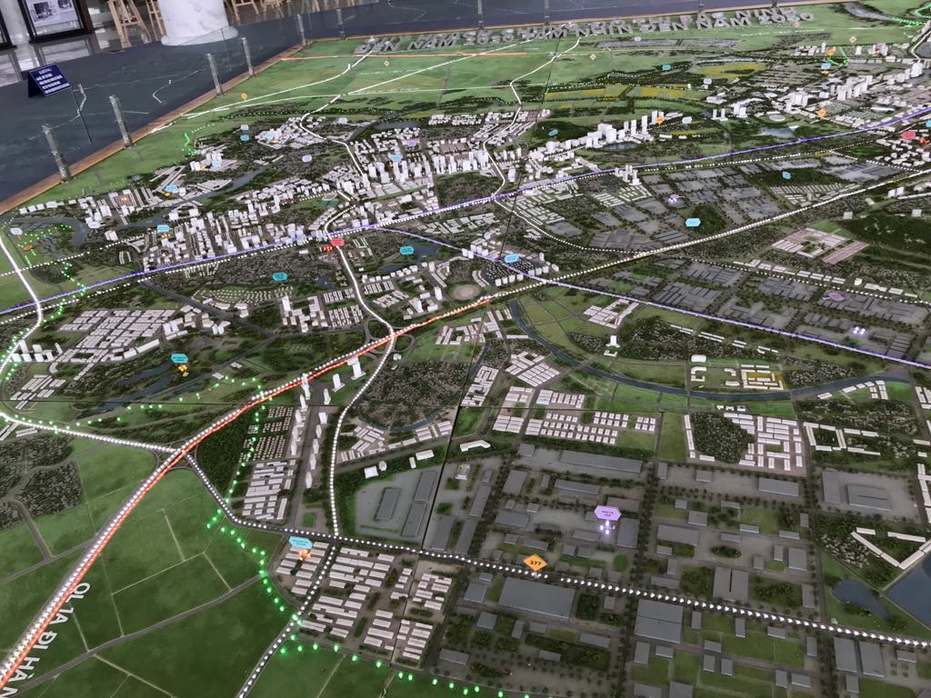
This photo is the urban planning model of a province in the North of Vietnam. In the photo we can see the authorities have decided on where we're going to locate the industrial zones and where the residential zones. The model also shows how the government is going to develop the infrastructure in this area. This province is not one of the economic nor industrial centre of my country, yet the authorities is hoping it could be a satellite to our capital in the near future, which will be a main source of supplies and labor force for the North of Vietnam. This distribution is mostly based on the geographical features as well as the potential to develop into a metropolis. However the invisible information that could be extracted out of the visible information from this photo is the flow of citizens coming to and from this province as well as the traffic of the main roads connecting the different areas together. If we can get the information of the flow of citizen coming to and from this province, it could be a significant factor in developing the residential areas with essential needs such as schools, markets, hospitals, etc.