Uploaded on 2018-08-04 by Eman Elmassah
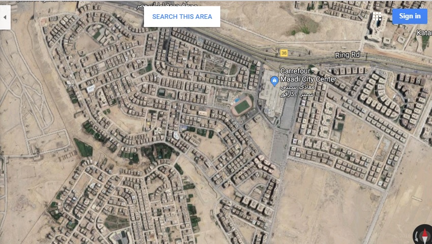
1-The map tells us about some visible information about a Residential district in Cairo called EL Merage City which lies directly on the Ring Road and has City Centre Mall on its east direction.Besides, inner streets that divide the city into nearly 10 neighborhoods, with their services such as schools,a petrol station,a hospital, few public gardens and of-course the residential buildings. 2- The invisible information do not identify how different age groups travel,and how people travel during different times of the day for different kinds of activities.With this information, we can provide better transportation service inside or around the city. lake of public areas lead to minimize the interactions between residents and their environment.