Uploaded on 2018-07-17 by Pierre-Luc Lachance
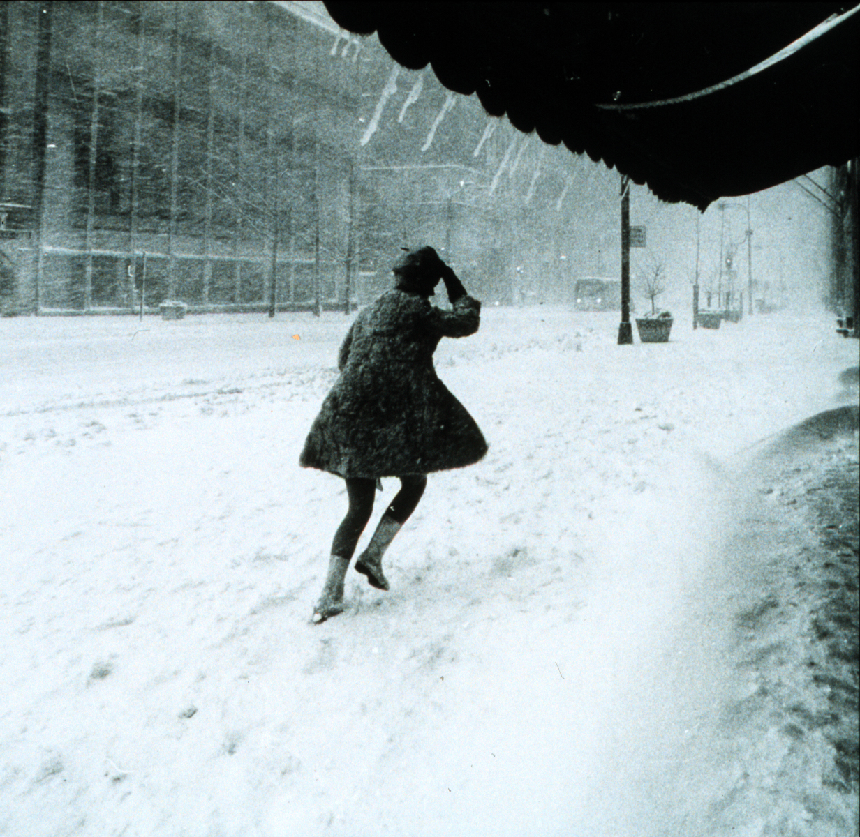
In Quebec city we have big winter with a lot of snow. With more than 35% of the downtown citizens who walk as their primary transport, winter can be a real nightmare because it's easier to the snow of the street than it is to clean the sidewalk. So pedestrian's have a lot of difficulty to plan their way in the city because they never know wich sidewalk have been clean. This problem is ever more challenging for people who have to live with a handicap (wheelchair). As we know that more than 60% of the citizen of Quebec City have a smartphone, and most of the them are able to use Google Map to plan their transport (we made a survey), we want to create an app who will show clean paths of snow to help the pedestrian to plan their transport. To achieve that we will need to put some GPS tracer on snow shoveling equipement for the sidewalk and georeference their work on a map. With that, the citizen will be able to see and decide wich way is better for them to move around the city.