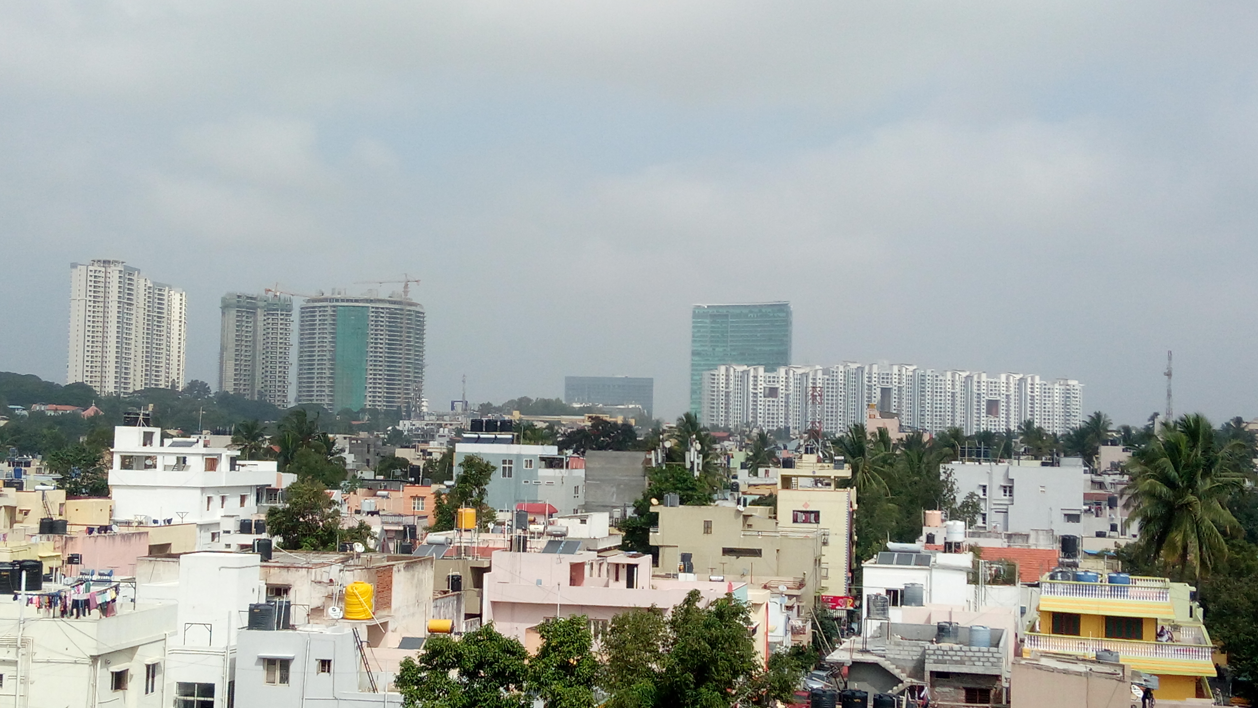
India, Bengaluru
FC-01x Future Cities (Self-Paced) - Exercise 1 : "Making the Invisible - Visible"

Uploaded on 2018-06-30 by Apoorva lakshmi
This is the view taken from a metro train and it depicts the old area of Rajajinagar in the front (with low rise development) and slightly more recent area of Mahalakshmi layout as the backdrop (with High Rise Development) Overall we can observe the stark difference in the Density and Landuse in both areas. Where one is low rise low density residential area, the other is high rise mixed use development. it hints to the centrality of that area and makes us question what could be reason why one is rapidly developing and the other is stable. This data can be then interpreted to see the way people flow to and from these areas and maybe help us better plan out the transport systems between these two. Also it could help in designing policies better so that the high rise development doesn't result in unsustainable growth in the area