United Kingdom, London
FC-01x Future Cities (Self-Paced) - Exercise 1 : "Making the Invisible - Visible"

Uploaded on 2018-06-10 by Mina Hasman
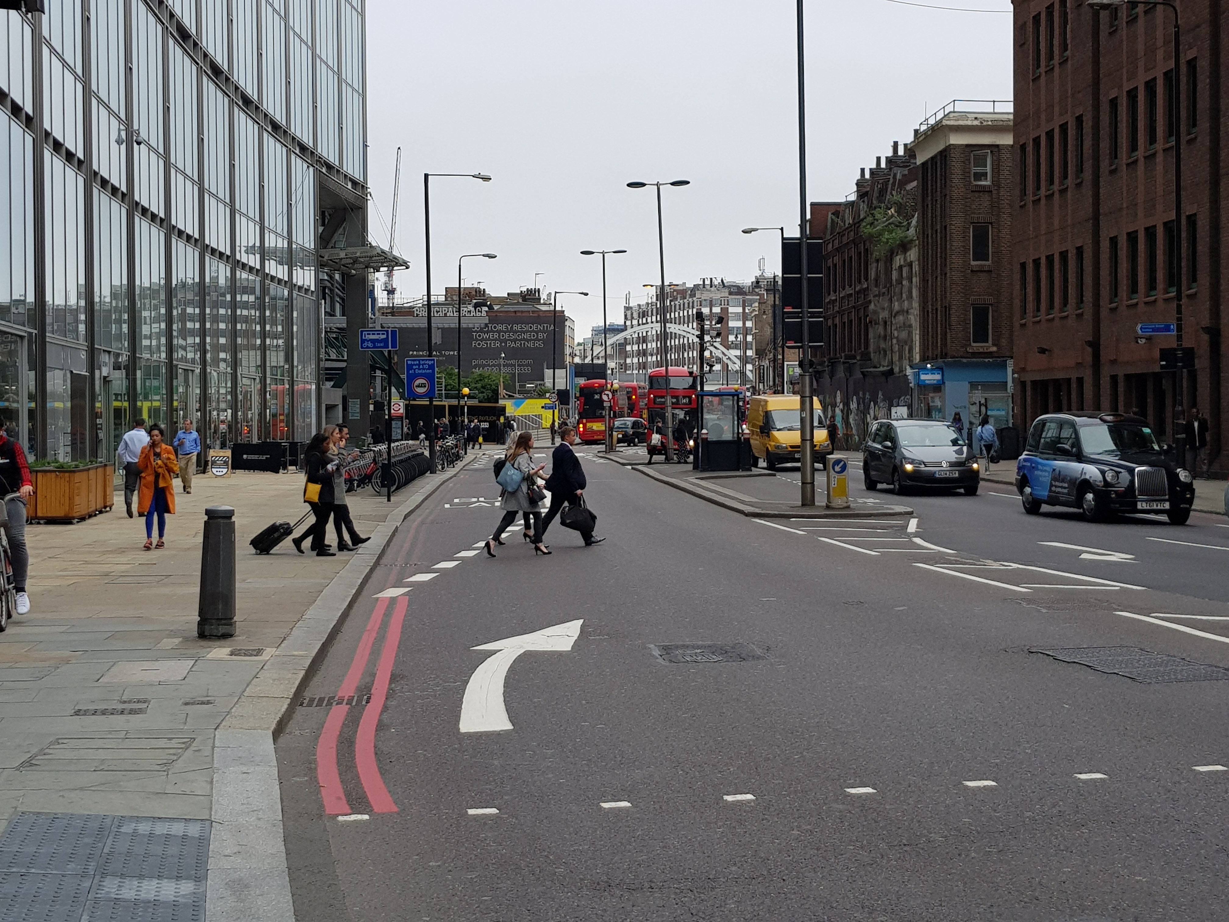
1. The information visible in the presented photo are the types of street “occupants” from taxis to private cars, freight/delivery vehicles, public buses, cyclists and pedestrians as well as the buildings. The other information that is visible are the flow of travel and designated travel platforms (sidewalks, pedestrian crossings, cyclist lanes, cycle parking areas, main vehicle lanes, vehicle transition areas, drop-off/emergency parking areas and bus stops). 2. The invisible information apparent on the presented photo is the flow of people and the underutilized narrower streets: Currently everyone competes for the same space, and especially the pedestrians break the continuity of the flow, disrupting the city pattern and causing a momentary chaos. The other invisible information is the concentration of vehicles in a particular area (towards the north part of the presented photo). This is a resultant of the urban built environment where the main “artery” narrows down due historic buildings. Another cause of this 'congestion' is the inappropriate location of the bus stops. 3. The invisible information can be assessed in "layers" and when all is superimposed, it can provide informed conclusions of a city's current condition which can influence that city's future design and evolution with a holistic solution.