United States, Atlanta
FC-01x Future Cities (Self-Paced) - Exercise 1 : "Making the Invisible - Visible"

Uploaded on 2018-06-06 by Stuart Robinson
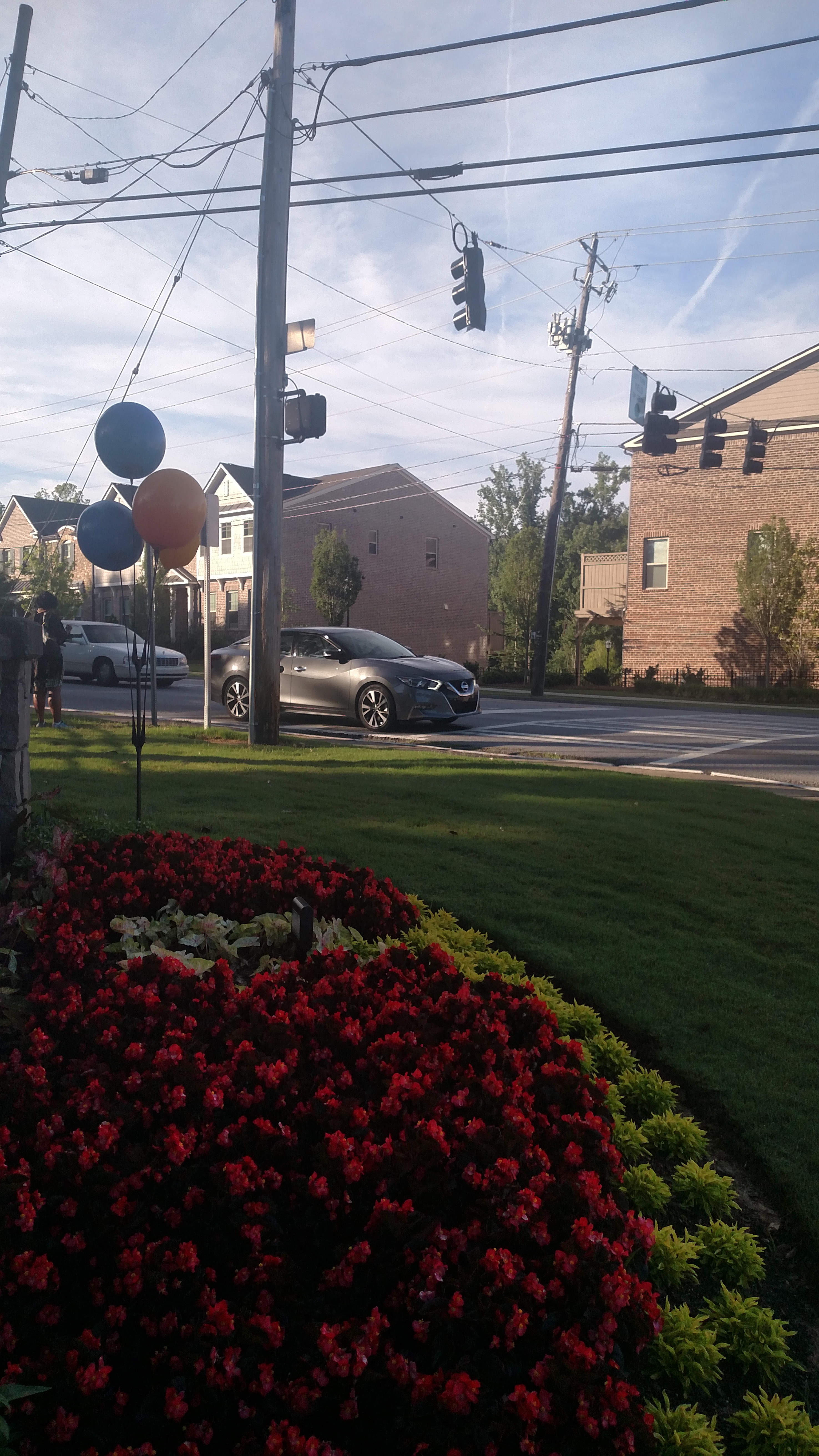
This is the stoplight next to my apartment complex in Atlanta, GA. The photo captures invisible information in the form of travel behavior, volumes at junctures, and catchment. For the assignment, I will discuss two specific forms of invisible information. First, in each car, it is likely that a smartphone is transmitting real-time data using GPS services to route each car to a destination. The data provides information regarding travel behavior - how people travel, how different demographics travel differently, and travel during different times. Secondly, at the corner, a citizen waits at a bus stop. Her participation in public transportation provides data regarding usage, time of usage, and, when she exits, route length. By compiling and forming relationships between data gathered from the first and second examples, urban design teams can provide better transportation services, options, and future solutions by looking at travel patterns and behaviors, volumes at junctures, and catchment areas.