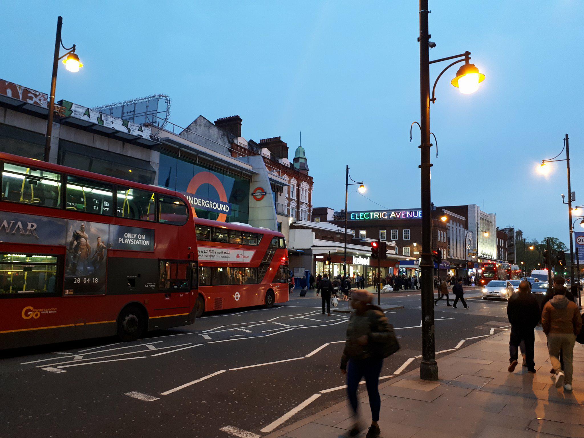
United Kingdom, Brixton
FC-01x Future Cities (Self-Paced) - Exercise 1 : "Making the Invisible - Visible"

Uploaded on 2018-04-30 by William Wyer
The photo shows the following visible information: -Brixton Rd, a major arterial that links many neighbourhoods in the southwest of London to the city centre, with 2 double story buses. -Brixton Tube Station, the final stop on the Victoria line southbound. Part of London mass public transit system. The station exit ejects on to: -The sidewalk adjacent Brixton Rd leading to Electric Avenue, a pedestrian thoroughfare that hosts local markets and links the neigbourhoods' smaller laneways. -Next to the station are 2 chain grocery stores and a pharmacist. - Street lamps and traffic lights illuminate and control flow of pedestrian and road based traffic. Two significant points of invisible information in this image are: 1. The number of commuters using public transportation each day, the type of transportation, method of arriving at the station, distance they live from the station, their destination, busiest and quietest times of travel, age of patrons and time spent commuting each day. 2. The amount of pedestrian traffic crossing Brixton Rd. By analyzing the pedestrian traffic we could discern the impact on traffic delays and direction of pedestrians after leaving the station. This information could inform the construction of infrastructures surrounding stations in wider contexts.