Uploaded on 2018-04-21 by Oskar Tranum
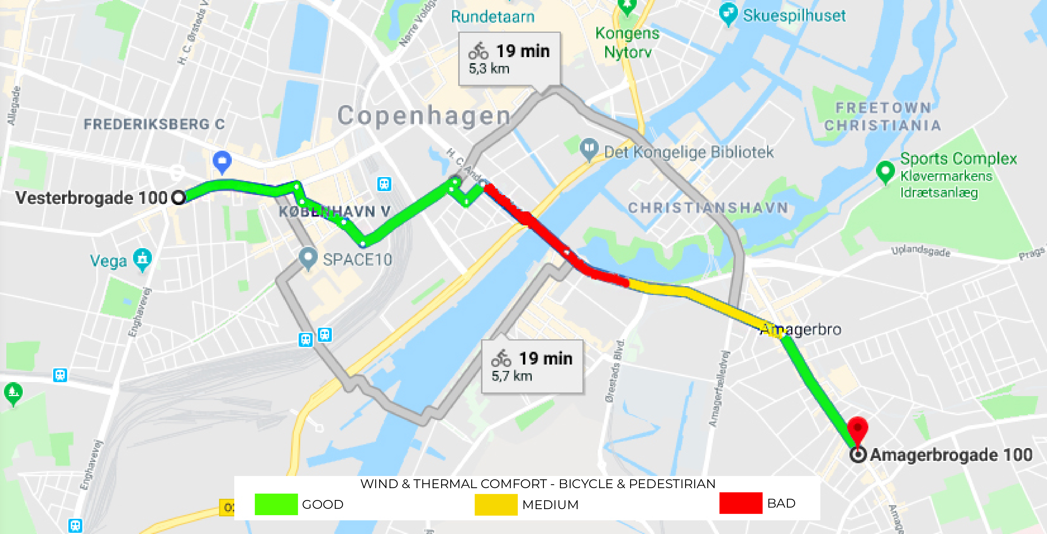
The app links open maps and traffic data with user experienced thermal comfort and microclimate data to propose the best bicycle or pedestrian route. Users add data such as thermal perception and wind comfort perception of a given bicycle or pedestrian route, and are proposed the best alternative option. Local governance can use collected data as urban design drivers and decision making for where to plant trees, place obstacles or benches, etc.