Spain, Pamplona
FC-01x Future Cities (Self-Paced) - Exercise 1 : "Making the Invisible - Visible"

Uploaded on 2018-02-27 by Maria del Mar Vidal Ribot
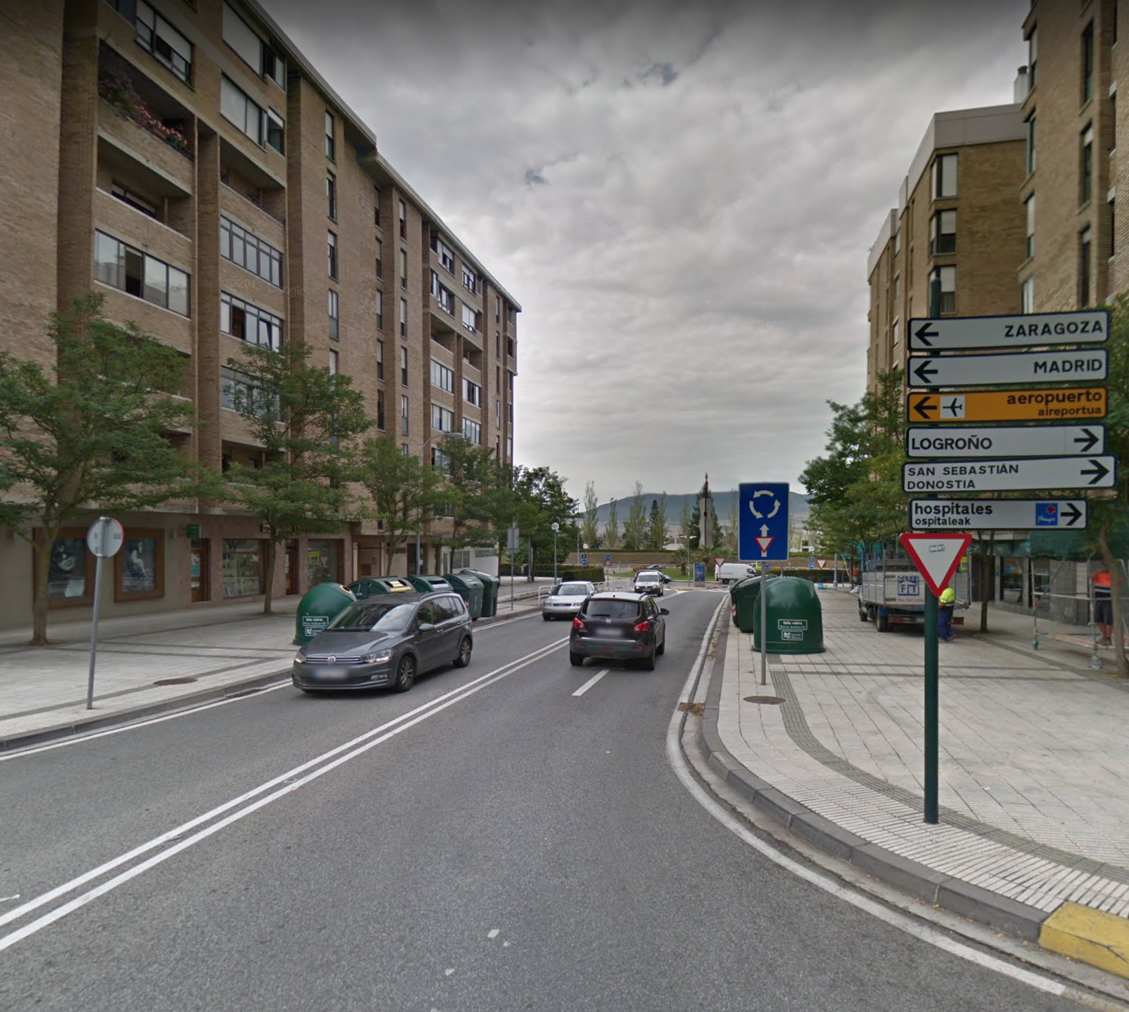
This picture was taken from the Google Maps. It is located in the third urban expansion of Pamplona, in a neighbourhood called Iturrama. In this picture we can see the typical two directional street with one lane for each direction. We can also see a lot of signals, one of them indicating a roundabout. There are garbage collections recycling in both sides of the street as well as trees, which are for pedestrians and offers access to the buildings and to some commercials. It's a wide street so we can see the final of it, where a mountain and some trees appear. On the first hand, a big difference exists between the traffic flow depending on the hours. This street is closed to the main road which enframes Pamplona, so it has a big not constant flow. On the second hand, there is a big unevenness between the road we see and the trees we see at the very end of the picture. At the other side of the roundabout there is an University which has two accesses from other streets but there is no connection with this street. It can be useful for future planning.