Brazil, Maceió
FC-01x Future Cities (Self-Paced) - Exercise 1 : "Making the Invisible - Visible"

Uploaded on 2018-02-08 by ISABELLE MISSANO
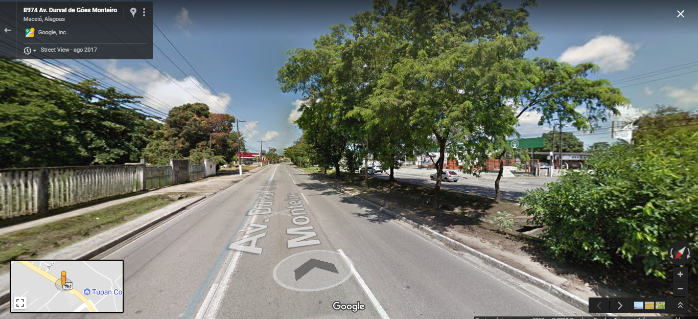
This is a print of Google Earth from an urban area of my city. The visible information is: this is an important avenue of the city that has mixed use, with establishments for commerce, services and institutional. The invisible sinformations are: the vegetation present in the image is part of the slope edge geomorphology that is close to the avenue, the different levels that a hillside has is invisibly also in this photo, the extension of the avenue is also an invisible information as it travels the city from one end to the other. Also, there is a water table abutted from the basement of the relief, which does not absorb the rainwater so well due to the waterproofing of the soil made by the avenue. Information such as these is of vital importance in planning and in the act of designing new spaces for the city, as it preserves its fauna and flora, and all the geomorphological structure of the relief. Preventing environmental, social and urban impacts in the future.