Uploaded on 2018-01-21 by Davd
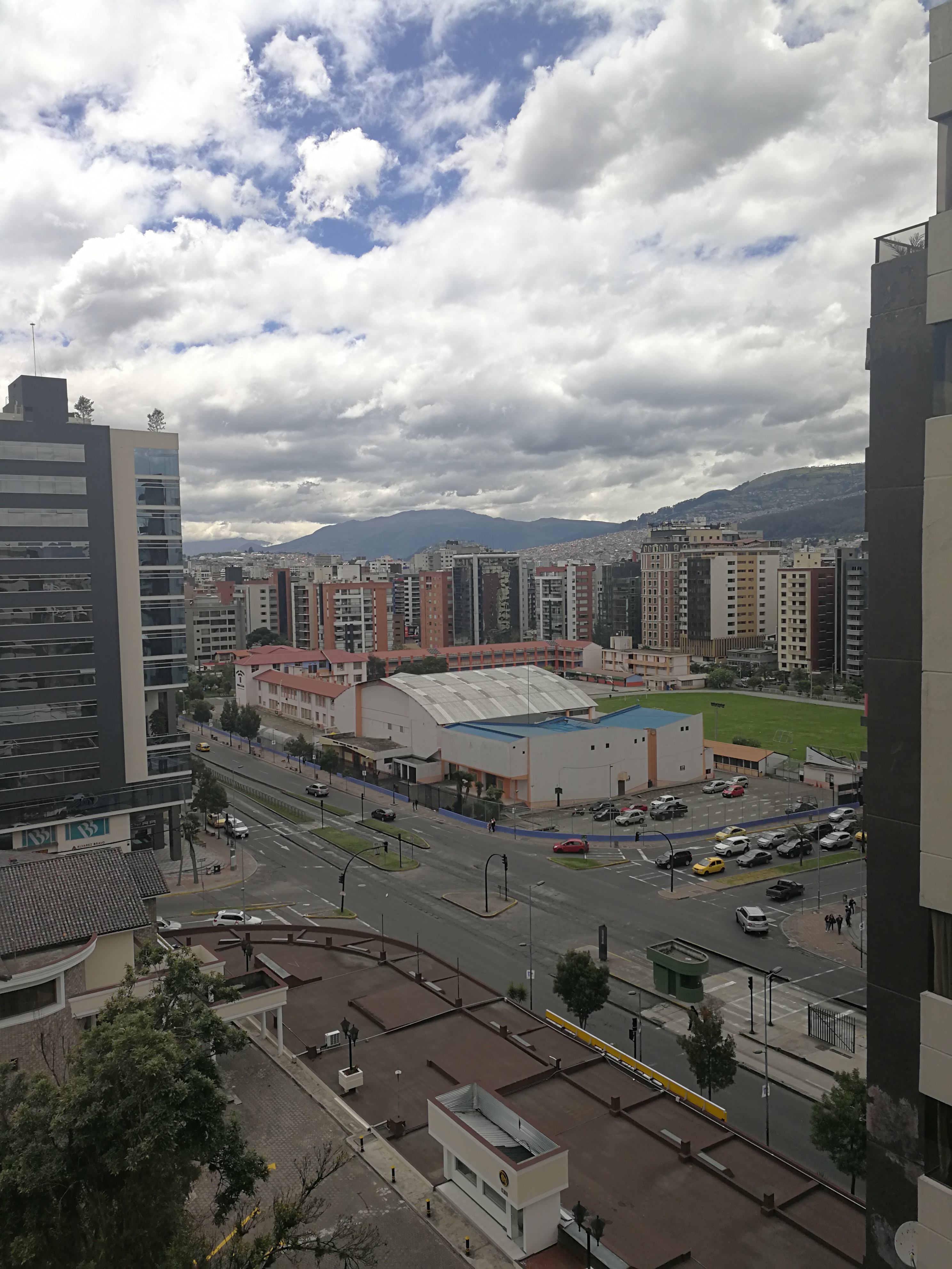
The picture shows different systems: 1) Far in the back, mountains with ecosystems that provide life support resources which are demanded mainly from the city, 2) Buildings that are systems that provide shelter and facilitate accesing to critical services, 3) Public space, that is devided on pedestrians' space (sadly no bike space), private cars' space (that only movilizes 30% of the people living in Quito, but uses 70% of the space available and contributes greatly with GHG emissions in the city and also in detriment of our health), and public transportation's space (that movilizes 70% of the people but occupies only 30% of the space), 4) Usually electricity cables are externally located, hanging from poles and then entering the buildings they are hidden, 5) Water sanitation and provision are underground, however, when heavy rains occur due to street slopes there is water flow on the surface of the street or sidewalk.