Uploaded on 2017-05-30 by Daniarazzak
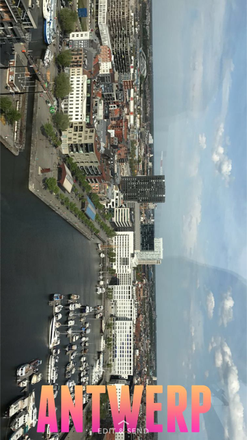
The attached picture is taken in Belgium-Antwerpen city. As shown in the picture, the view consists of: buildings, water, Transportation and roads network. This area is shaped around a water element and all of the above mentioned points contribute to shape the city. The main road network of the area is shaped in a way to make the water area accessible for all users weather users arriving through public transportation, private cars or even on foot. in Which also some main attractions are located in this area such as the famous Diamond museum of the city. The pedestrian bridges are clear as well in the picture to facilitate the movement. Electricity Infrastructures seem to be underground which give a modern view for the city. The buildings are all of geometric simple shapes of 5-6 floor levels with few only considered as tall buildings. However, the city has no high-rise or skyscrapers structures which add a peaceful atmosphere. All of the points: Transportation, water, health and energy are shaping the basic urban form of the city and reflecting as well the modernity or the style of the area and even the economic level of the city or country. By setting the basics of infrastructure elements and observing their data and effects with more detailed and accurate information, a good study of urban system could be generated.