United Arab Emirates, Abu Dhabi
FC-01x Future Cities (Self-Paced) - Exercise 1 : "Making the Invisible - Visible"

Uploaded on 2017-05-12 by Anushree Rajhans
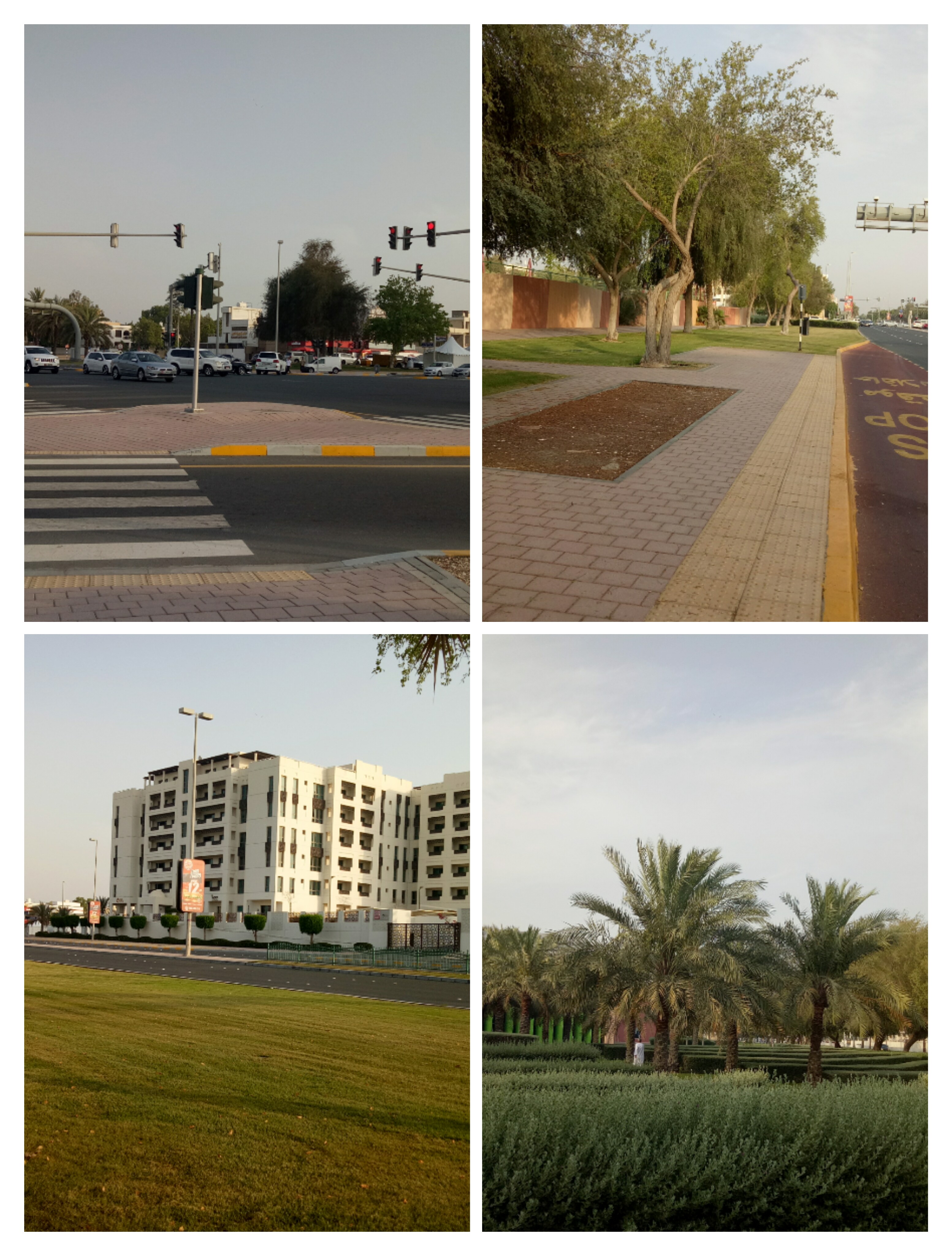
I have shared a collage of 4 photos since what I want to say cannot be depicted in one picture. I live in the part of Abu Dhabi which is not surrounded by high rise buildings but is very much a part of the urban structure. The first picture shows a road junction,the second shows a pedestrian path and a bus stop along the main road,third shows a residential building along the same road and the fourth shows a green patch adjacent to the junction shown in first picture. Two invisible information that can be extracted from these are - 1. The flow of vehicular traffic through this traffic junction during different parts of the day. 2. The flow of pedestrian traffic on the pathways. Although in the picture there are none present. That's because of the time of the day which generally is the hottest thus avoided by most pedestrians. Again the amount of pedestrian traffic varies according to the time of the day. My answer to the question what are the main reasons that invisible information is so interesting was -To support future decisions towards a more liveable urban space. And this can be achieved from the invisible information that the above pictures provide us. The study of density of both the pedestrian and vehicular traffic during the peak hours can be translated to appropriate street and footpath widths for roads in different parts of the urban area. For example the roads in the business district of an urban area will be broader than that in the residential. Parking space will like wise vary too. Also broad footpaths with green patches is healthy in urban areas and useful too. Thus according to me transport planning is the main factor which benefits from information such as these. -Anushree Rajhans