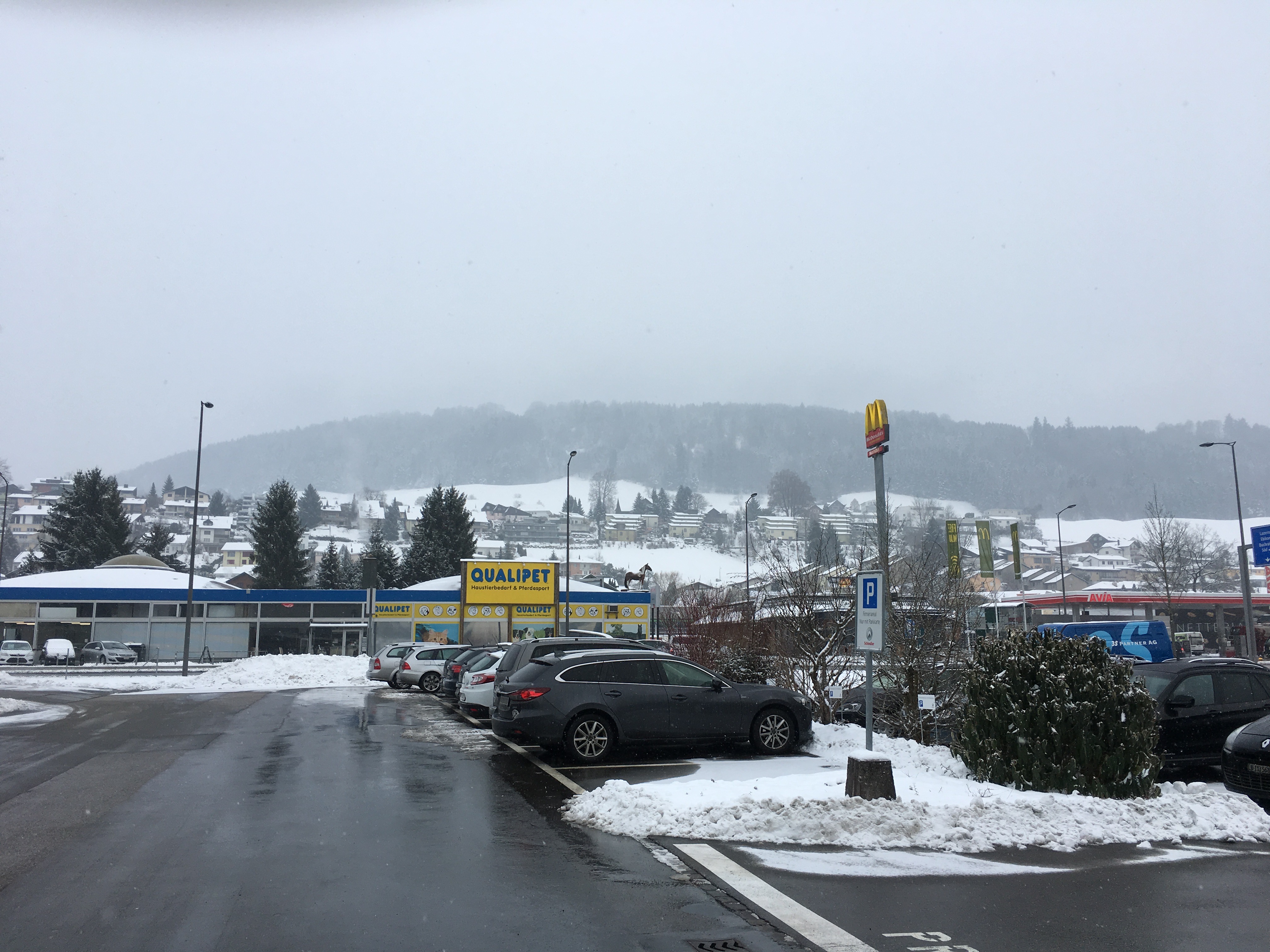
Switzerland, Ebikon
FC-01x Future Cities (Self-Paced) - Exercise 1 : "Making the Invisible - Visible"

Uploaded on 2017-05-03 by Christian
1: There is a lot information visible and these information covers elements people, buildings, traffic, and monuments. Examples in this pictures are cars, snow, billboard, traffic signs, streets, parking slots, petrol station, fast food restaurant, snow, rain, buildings and many more. 2: The first invisible information is the temperature. We have two information. On the one hand the streets are wet as there is a light rain, but on the other side there is still snow visible. By connecting these two information we know that the temperature is likely to be above 0 degree Celsius as there would be a light snowfall and snow on the streets. On the other hand the temperature is likely to be below 6 degrees celsius as there is still snow and no sun is shinning. Be connecting the visible elements snow and rain we can get the invisible information of a temperature range. The second invisible information is the local traffic pattern on the street. On the one there is traffic passing by on the street. On the other hand there is the petrol station and the fast food restaurant in the background. By measuring the traffic and linking the information with number of cars that go to the petrol station and the fast food restaurant we can identify the information of the transit vs. local traffic for this small area. 3: I select my second invisible information, the local traffic pattern on the street. Based on this information of local traffic vs. transit traffic the city planner can conclude for example the demand for a traffic light system to get off and on the main road. With this knowledge the city planner could possible improve the traffic situation and the road safety for the people interacting with this traffic segment.