Uploaded on 2017-03-07 by Joseph
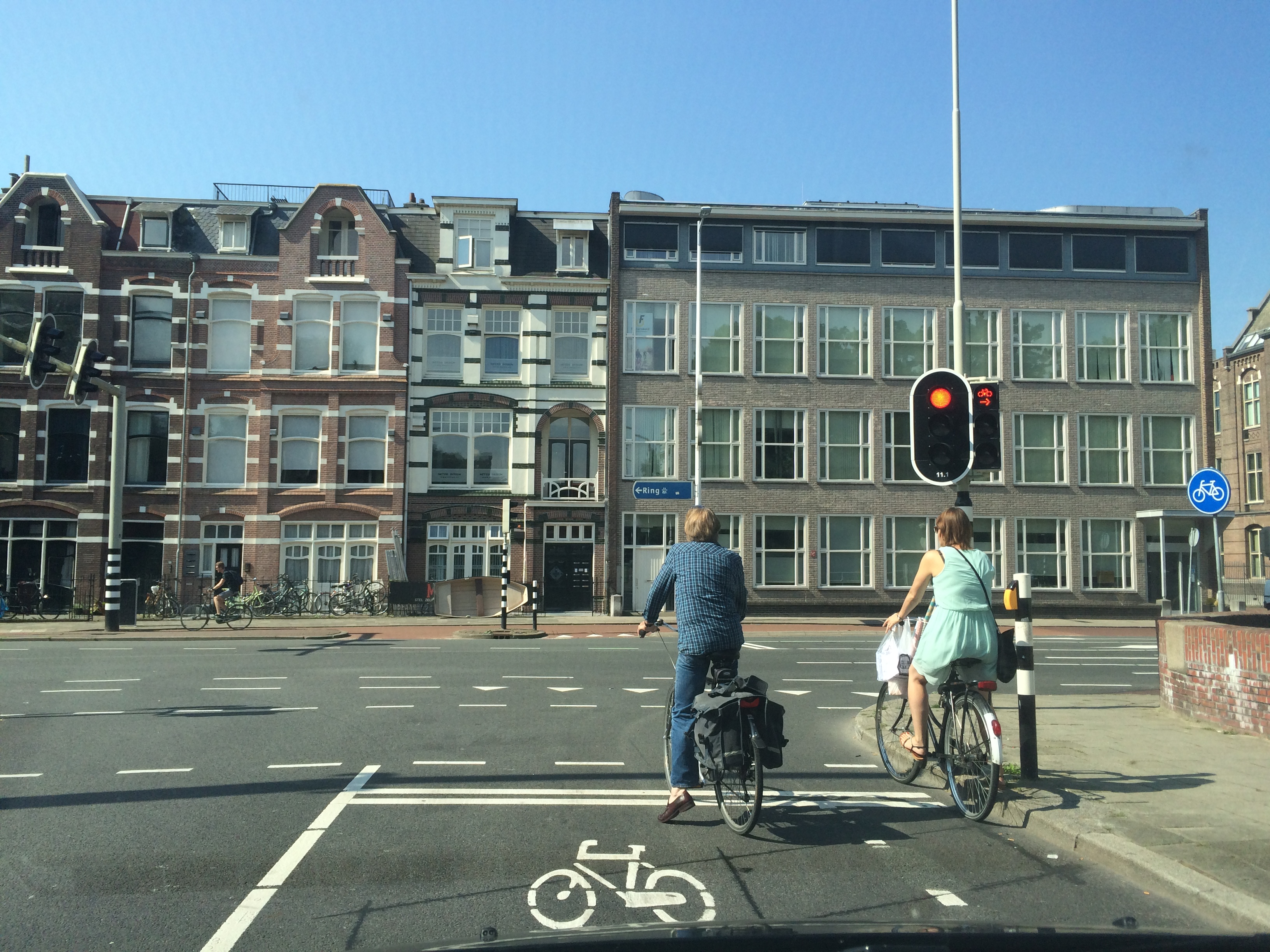
For this task, I’ve attached a picture of a T-junction in the city of Utrecht, The Netherlands. At first glance, the picture may as well be a junction in any other European city. However, if one looks more closely, the impact of bike transport infrastructure becomes very apparent. For one, it will be noticed that cyclists have their own designated or reserved paths. A bike icon placed on the road clearly shows where bikes can stop at the traffic light. Broken lines on the sides of the road indicate the path for cyclists. Further ahead along the junction, one will see the red bike path exclusive for bikes and separated from the main road. To the right of the picture, one will see the bike sign indicating the area where the exclusive bike path begins. Even at the intersection, there are stoplights and buttons dedicated for cyclists to navigate the intersections safely. Across the Netherlands, the bike transport infrastructure is highly visible and affects urban planning considerations. Roundabouts are designed to prioritize cyclists over motor vehicles, roads are designed with the bike lanes as a priority in mind and dedicated lanes for bikes are present even when travelling to neighbouring towns or cities. It is this infrastructure that has contributed to the prevalence of cycling as a sustainable alternative to mobility and transport in the Netherlands.