Uploaded on 2016-07-04 by Jamin
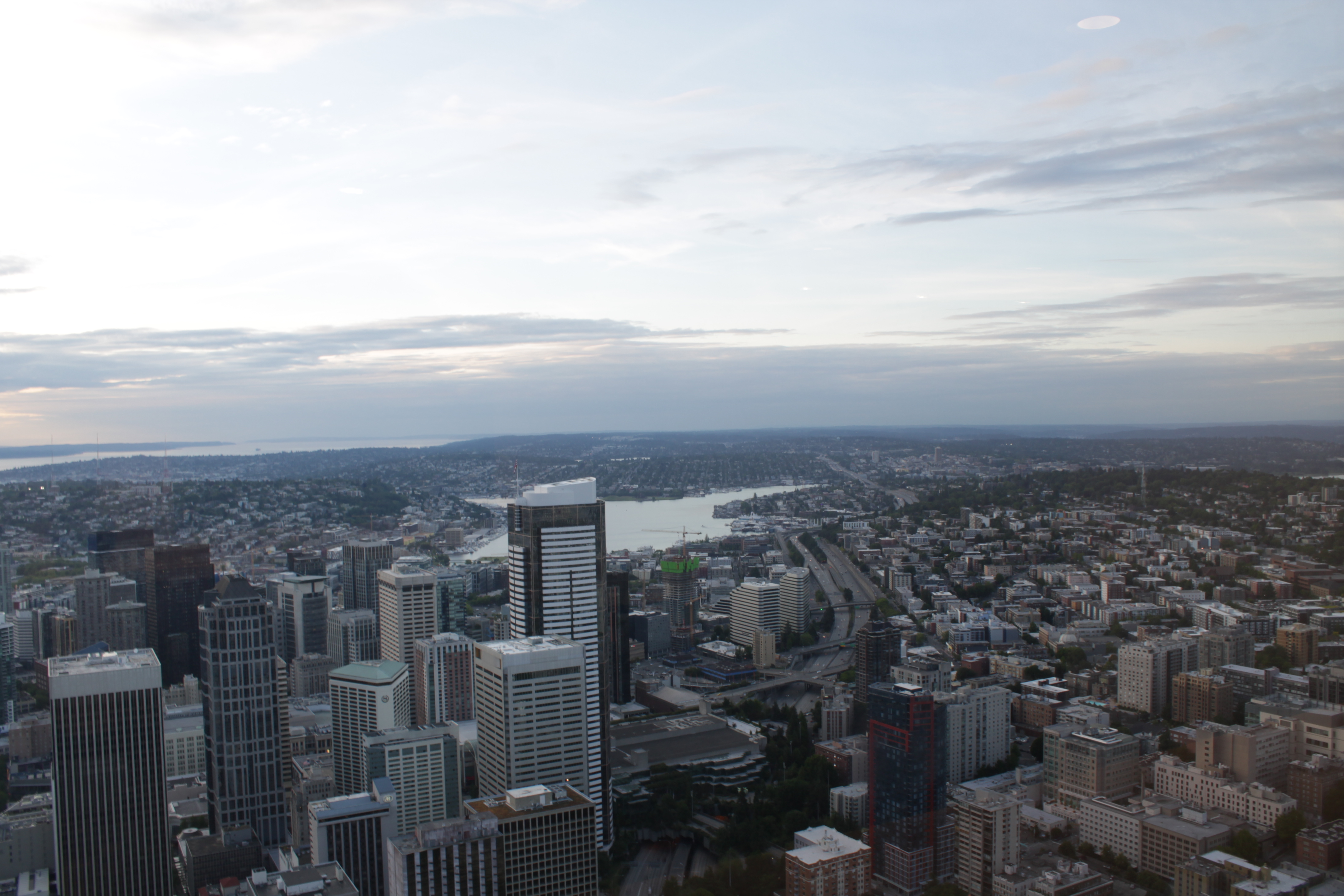
We can see that much of the construction is centered around light rail, while staying away from the interstate. This demonstrates how simple transportation infrastructure shapes the way the city is built. Meanwhile, Lake Union to the north serves as a location for both leisure as well as transportation; the locks create a shipping channel from the Sound into the lake. You can see to the bottom right a collection of buildings on a hill; many of these are hospital buildings. Meanwhile just east of Lake Union you can see a cluster of university buildings--University of Washington. To minimize transportation and other infrastructure costs these services are often grouped together into medical centers and educational centers, respectively. Meanwhile, the very location of downtown is indicative of our reliance on mass transport. The city is not situated on the most geographically ideal location. It's a narrow isthmus between the Puget Sound and Lake Washington, creating problems with flooding and storm weather. A combination of the hilly terrain and low elevation has forced the city to expend effort infilling land as well as jet-blasting hills. And the small amount of land area on the isthmus has created transportation and real-estate problems; there's only one interstate that runs through the city, which is constantly congested, while the terrain makes both subway and light-rail difficult prospects. However, the city's location creates a great opportunity for a coastal port.