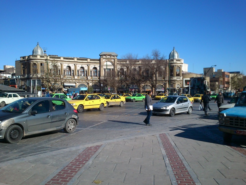
Uploaded on 2017-02-09 by Mojtaba Hasanzadeh
Location: HasanAbad square, Tehran, Iran 1)In the picture I identified the following visible information: Urban space (dimensions, shape and forms) Buildings (function, number, height, architecture, material, skyline, entrances...) Pedestrians (number, gender, age and type of moving and pathway ) Vehicles (number, type, speed, color, passengers and...) Pedestrian infrastructure area in the zone Vehicles Vehicle infrastructure area in the zone Green area in the zone 2) (how important is an urban space in term of functional centrality- how many energy daily use and how many air pollution created there) are two example of invisible information that we can extract from visible informations like number of pedestrian an Vehicles 3) degree of centrality of an space in city network can help us to understand how cities work and how urban values can created by improving connectivity of an space to other parts of urban network. For a good urban design an for sustainability of a urban space we have to create balance between degree of centrality and connectivity.