India, Kolkata
FC-01x Future Cities (Self-Paced) - Exercise 1 : "Making the Invisible - Visible"
Uploaded on 2017-02-05 by Rukmini Mukherjee
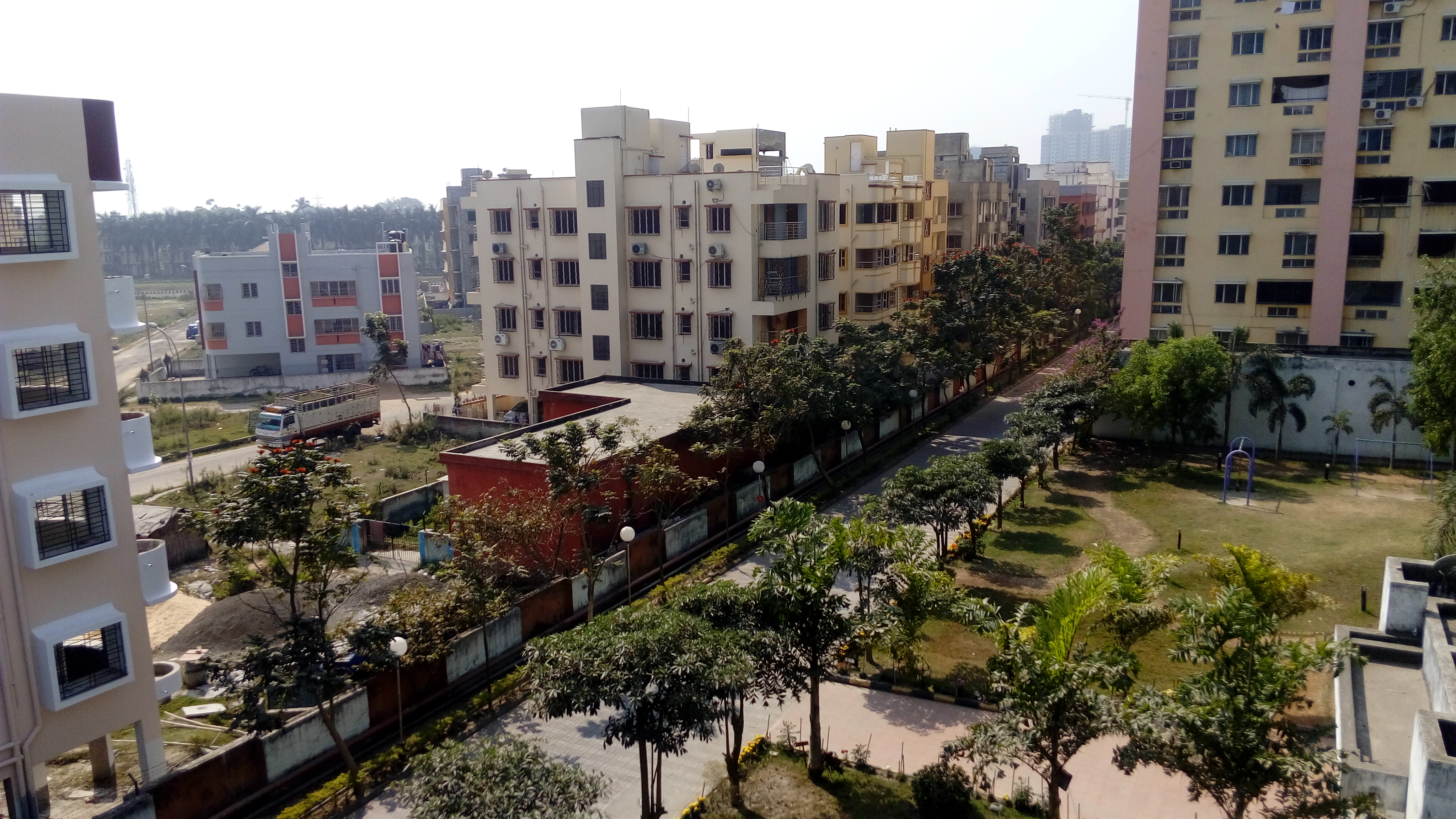
1. The image is a contrast between a gated residential complex and surrounding residential area in a comparatively newer part of urban Kolkata. The visible information includes the typology of buildings, the streets, people and traffic movement, availability of green or open space near buildings, etc. 2. There are two invisible information easily identifiable from the image: A. It can show the preference of housing types in the urban area, based on the percentage of occupancy in the contrasting residential types available in the vicinity. B. The other is the centrality of the area, which can be measured over a period of time, based on the movement of the people of different age groups. 3. The second information involving the centrality of the area can show how a large percentage of the younger population move away from the area for education and work during weekdays, returning in evening hours to congregate in areas of recreation and parks, along with the residing population. During weekends, the movement pattern congregates towards areas of larger social infrastructure and recreation. This knowledge of residential behaviour of the area can be used to plan more efficiently in terms of land use and for provision of green/recreational/ social infrastructure within short trips, to reduce travel by car and encourage public/pedestrian movement, while creating a safer and liveable urban space.