Netherlands, Delft
FC-01x Future Cities (Self-Paced) - Exercise 1 : "Making the Invisible - Visible"

Uploaded on 2017-01-27 by Peter Nolten
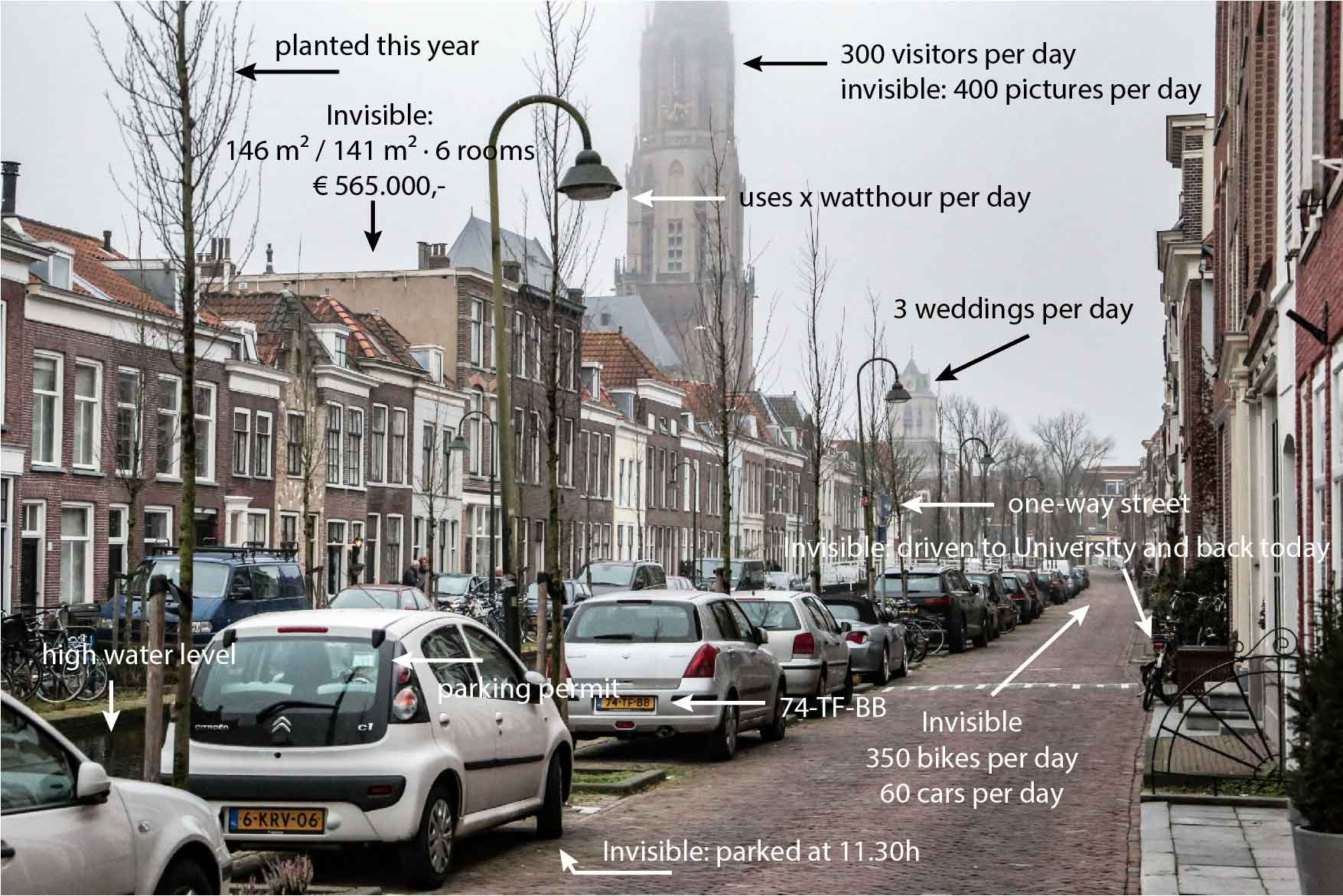
In this typical Dutch canal street there is a lot of information you can see. The licenseplates, the water level, the parking permits, the new trees, the bicycles, a one-way street sign. Some invisible data is about the amount of pictures taken of the old church, the route a student took on his bike to university, the prices of housing or the time someone parked his car. The amount of pictures taken of the old church is invisible but can be made visible by searches on social media. The route the student took can be deducted by giving him/her a gps device or using gps data from his/her phone. The prices of the housing can be found online and used to see how wealthy and sought after the area is. Parking data can show how much an area is used and who are parking there, this can be deduced by cameras or trackers on cars. By using data from students who use their bikes to get to the university, we can derive which routes are most used. This information can be used to improve these routes in making them safer and quicker for bicycle users. It is also possible that the routes the cyclists use cause problems for people who are visiting and walking through Delft. In that case it is also possible to implement ways to make biking in these areas less attractive so they will pick another route. By either supporting or discouraging the use of bicycles you can improve the living quality of the city.