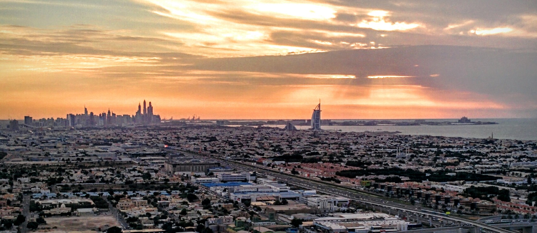
United Arab Emirates, Dubai
FC-01x Future Cities (Self-Paced) - Exercise 1 : "Making the Invisible - Visible"

Uploaded on 2017-01-24 by Hussein Mahran
this is an aerial view of the relatively newer part of Dubai information from the pic: - major traffic route (Sheikh Zayed Road) - public transit (metro line + metro & bus stations) - usage difference (low density housing - high density housing - industrial) - architectural style distribution (contemporary high rise - traditional low rise) - landmarks (Burj Al Arab - Princess Tower - Atlantis Hotel - The Palm) - green area distribution invisible information: - centrality at the Marina area where the skyscrapers are - traffic behavior between public transit and private vehicles how this invisible information can become knowledge and contribute to the planning of a more livable urban space: the centrality of the Marina area gives the knowledge that more and more people are moving to that area, thus it needs more development and more treatment for traffic flow, or city planners might think of creating a new point of centrality to reduce the high demand on the Marina which is already over-occupied