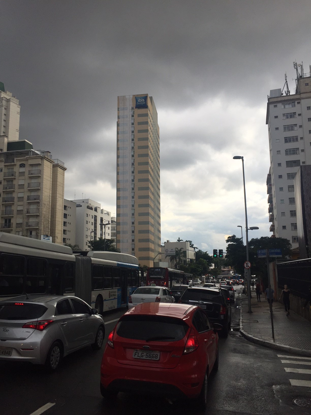
Brazil, São Paulo
FC-01x Future Cities (Self-Paced) - Exercise 1 : "Making the Invisible - Visible"

Uploaded on 2017-01-23 by Leonardo Briza Paes Manso
Corner of 9 de julho (Avenue) and Cravinhos (Street) 1) The picture shows a small urban area of the central zone of the city of São Paulo, São Paulo, Brazil. The little visible information of the image are: - cloudy skyline - different buildings templates - street lights - public lights - traffic signs - modern cars and buses - 3 traffic tracks (1 exclusive for buses) - trees - people on the sidewalk 2) Examples of invisible information are: - confusing urban development - organized public transportation system - wealthy city zone - different use of land 3) understanding the confusing urban development (seen on the different building templates and use of land) can become knowledge about the local infrastructure and dynamics. This knowledge can help to correct and (re)organize the urban planning of this region, besides to study the good and bad practices on a wealthy region of a diverse city. All of these action would help to build a more effective, resilient, sustainable and livable city.