Uploaded on 2017-01-12 by Colleen Dunning
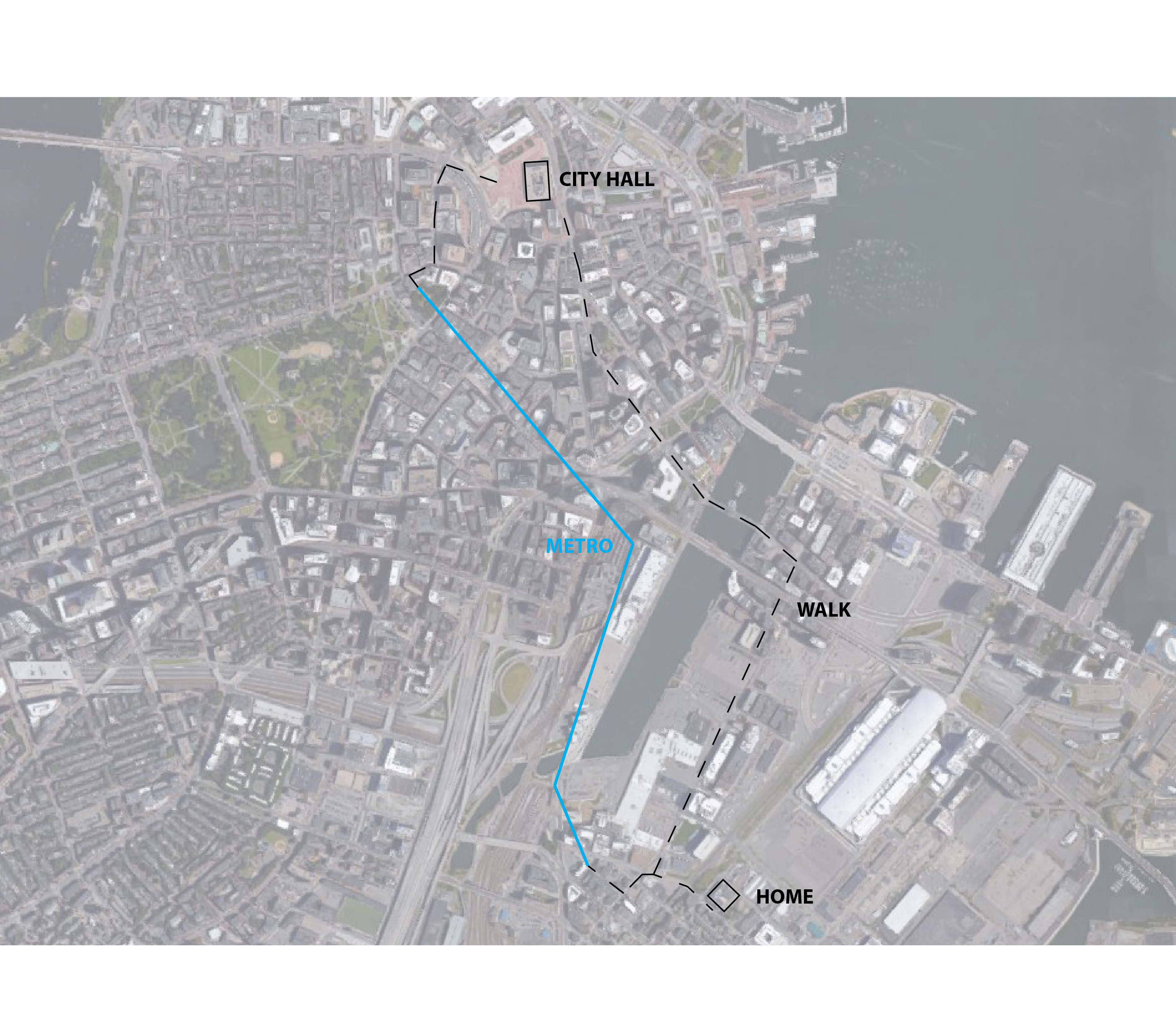
This graphic represents two routes from my home to a central city location, the Boston City Hall. Route 1 Walk, 1.2 miles (1.9km) Route 2 Walk .1 miles (.16km) Subway 10 minutes Walk .25 miles (.4km) Of the two routes, the walking route is my preferred route. The streets on the walking route are generally low traffic, the buildings that line them are a mix of historic and new office towers. The route crosses the Fort Point Channel - so there are views of the harbor and the boats that sail there. Boston is a generally flat city, so this walking route can be completed in about 30 minutes. However, in rainy or heavy snow, or at night (when the subway is running), it is preferable to take the subway for part of the journey. Boston's subway is the oldest in the United States, but it is not well maintained. So, while inexpensive and accessible for a convenient public transportation option, I generally prefer to walk.