United States, Seattle
FC-01x Future Cities (Self-Paced) - Exercise 1 : "Making the Invisible - Visible"

Uploaded on 2016-06-27 by Mike Bozee
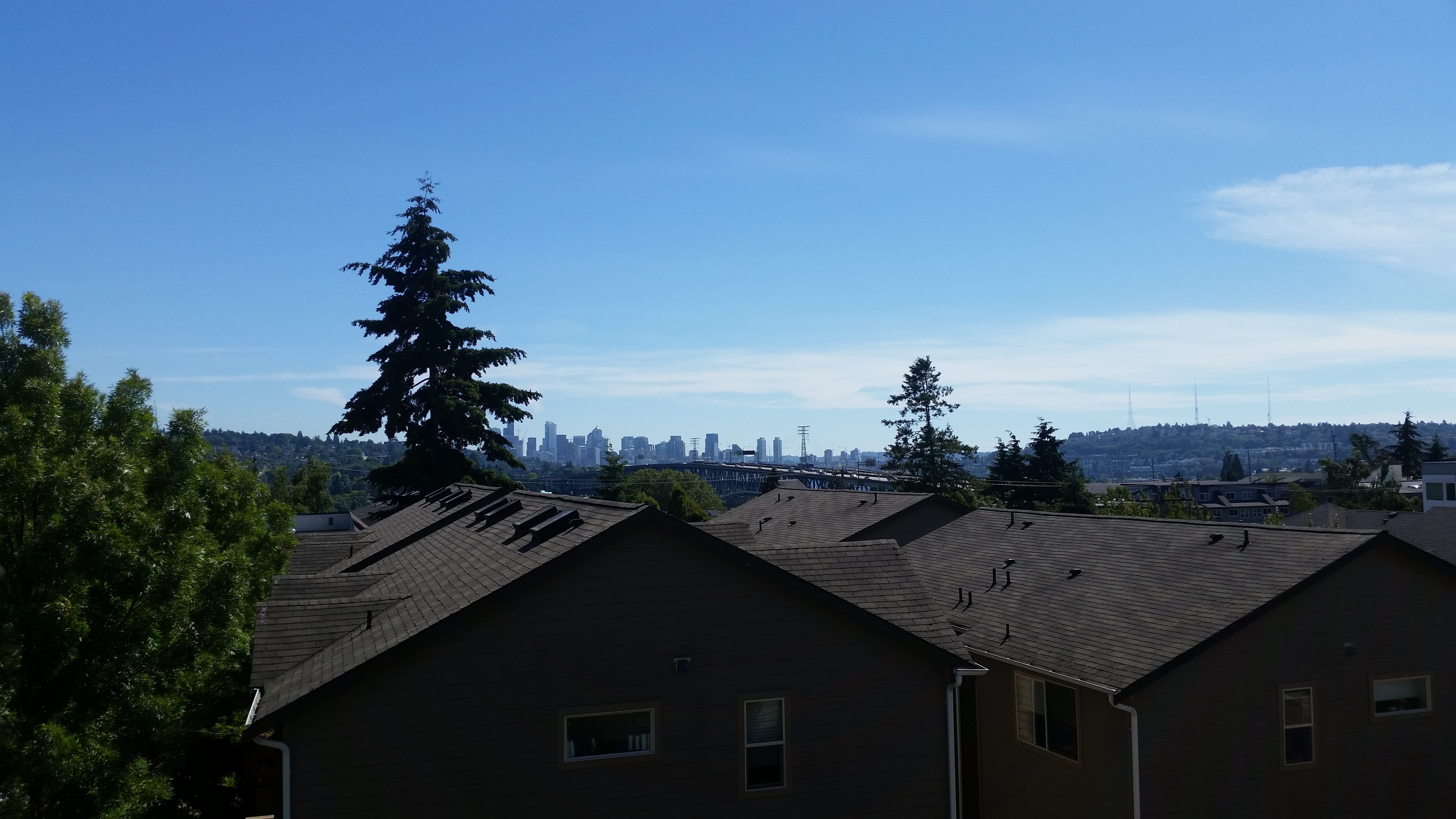
This is a photo from my apartment balcony, showing downtown Seattle. Visible are the tops of buildings, highway leading into and out of downtown Seattle, as well as rooftops of tenant housing in the University District right outside University of Washington's campus. On the left is a wooden area. To the right of the buildings is electrical infrastructure. Also visible is flow of population via cars. Invisible are the public transport systems (busses, metro), flow of population on foot, and the lake located under the highway bridge.