India, Bengaluru
FC-01x Future Cities (Self-Paced) - Exercise 1 : "Making the Invisible - Visible"

Uploaded on 2016-11-27 by saranya Arumugam
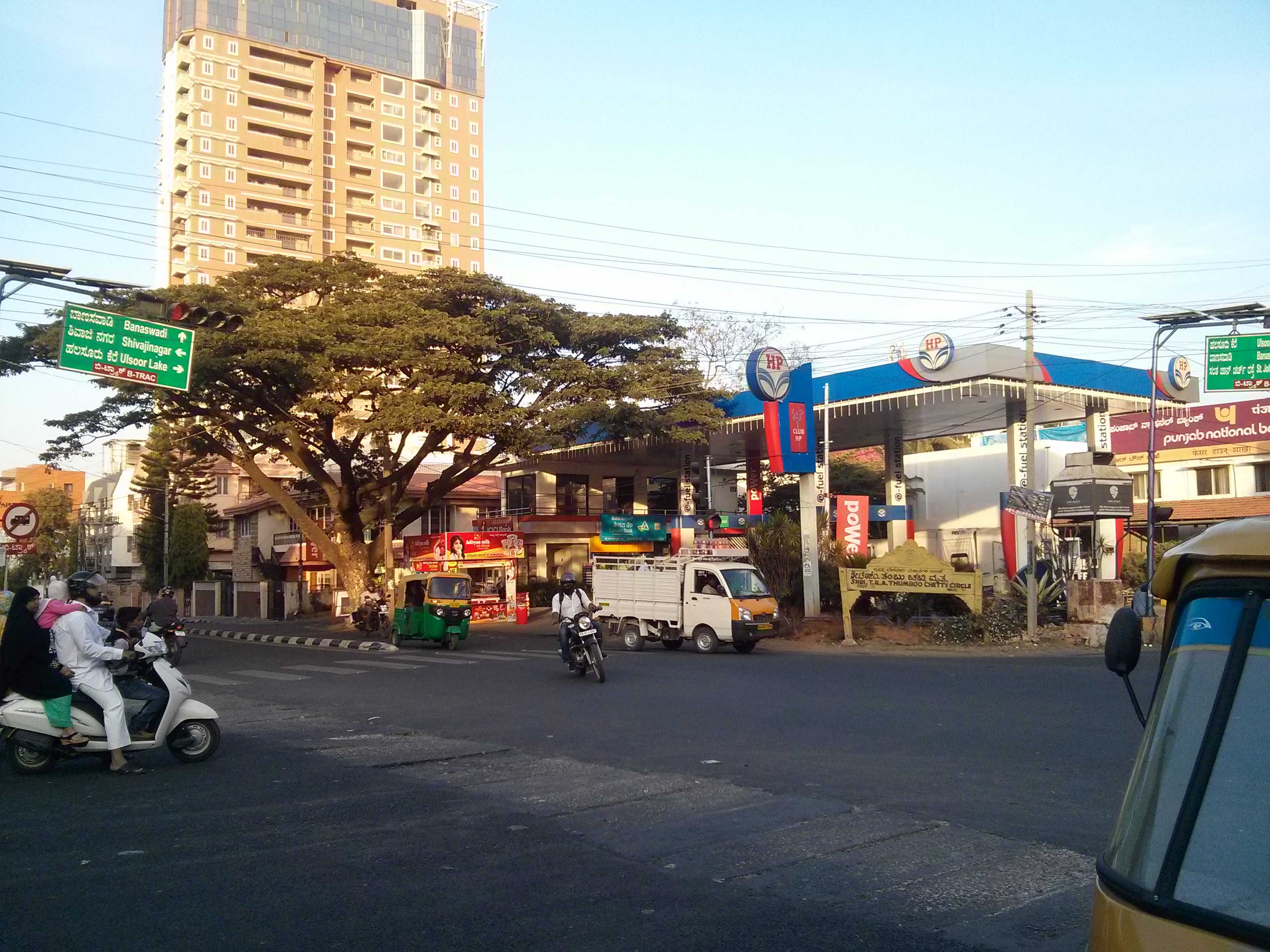
This Place is a junction in Bangalore, India which I clicked during my visit to nearby bakery around afternoon on a weekend. The visible information here is the sparse behavior of traffic over the weekend during afternoon and lack of public transport usage. The major mode of transportation in Bangalore is self owned cars, motor bikes, taxis or autos which adds to high pollution level in Bangalore. The once called Garden city now has barely few green-scapes left due to heavy construction of buildings and fast expansion of Bangalore city. The city stands 2nd highest in Pollution level next to Delhi, India. Vast majority of people living here is having respiratory problems. The second most visible information is the tall structure in the photo which is the lone residential building in the entire are which is this tall since the other building are maximum 3 storeys. This show the lack of zoning or land development and also if one sees the picture, there is lack of landscaping and pavements for pedestrian. So the major invisible element which we can extract in study to improve public transport to reduce pollution level. Though there is metro line in the city, this area which is called Coles park, being one of the prime area does not enjoy metro connectivity. the metro routes needs to be channelized to connect all areas and also the bus services to be enhanced and frequency to be increased in areas of heavy movement of people. One can monitor the pollution level and can probably have indicators across city for people to understand the importance of public transport or can use bi-cyles or any other alternatives without causing much pollution. Bangalorians needs to have more awareness which can be achieved by having pollution level data hung displayed and continuously updated at all major areas of vehicular movement.