Uploaded on 2015-06-04 by ArnaudAyral
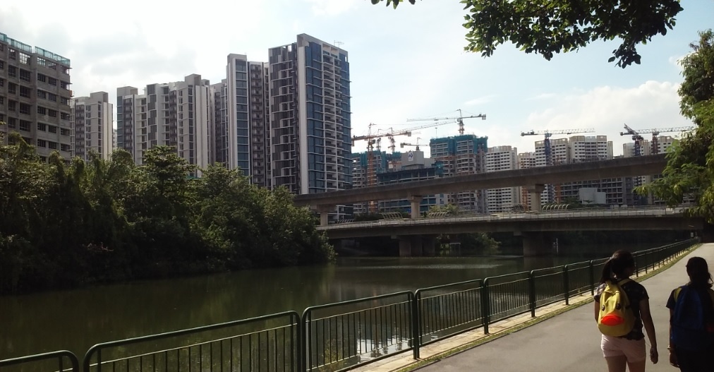
The picture displays in the foreground a river with, on one of its bank a walkway/cycle path and on the other bank what looks like a small stretch of rain forest. In the middle of the picture one can see a road bridge over the river and an elevated, light railway transit system bridge also spanning the river. The horizon is covered with residential high rise/high density buildings under construction. The picture to me is an excellent illustration of the modern city’s dependency on transportation, be it public or private. The neighbourhood under development in Punggol is far from being completed yet but both the road bridge and LRT are already in operation. This is evidence to me of the fact that the development of this part of Singapore is completely dependent on excellent transport connections and would be unviable without those. It is interesting to notice that infrastructure was completed significantly earlier than most of the residential developments themselves. Picture of Punggol canal about 3 km from my residence in northern Singapore. Picture taken by myself on June 2nd 2015. ![enter image description here][1] [1]: https://edxuploads.s3.amazonaws.com/14334073833775787.jpg